Santo Antônio de Leverger
Santo Antônio de Leverger is a municipality in the southern part of the state of Mato Grosso, Brazil. The population is 16,999 (2020 est.) in an area of 12,261.29 km2 (4,734.11 sq mi).[2] Its elevation is 141 m (463 ft).
Santo Antônio de Leverger | |
|---|---|
Municipality | |
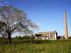 Center of Santo Antônio de Leverger | |
 Flag  Coat of arms | |
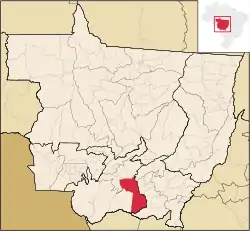 Location in Mato Grosso state | |
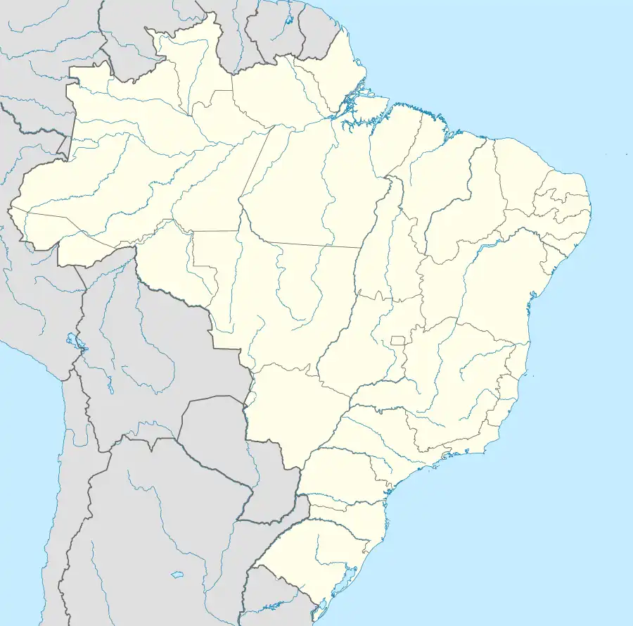 Santo Antônio de Leverger Location in Brazil | |
| Coordinates: 15°51′57″S 56°4′37″W | |
| Country | |
| State | Mato Grosso |
| Area | |
| • Total | 12,261.29 km2 (4,734.11 sq mi) |
| Population (2020 [1]) | |
| • Total | 16,999 |
| • Density | 1.4/km2 (3.6/sq mi) |
| Time zone | UTC−4 (AMT) |
The municipality contains the 1,487 hectares (3,670 acres) Águas Quentes State Park, the first protected area in Mato Grosso, which is known for the healing powers of its thermal waters.[3]
Population history
| Year | Population |
|---|---|
| 2004 | 15,459 |
| 2006 | 15,469 |
| 2015 | 19,257 |
| 2020 | 16,999 |
References
- IBGE 2020
- Instituto Brasileiro de Geografia e Estatística
- PES Águas Quentes (in Portuguese), ISA: Instituto Socioambiental, retrieved 2016-08-01
External links
- (in Portuguese) http://www.citybrazil.com.br/mt/stoantoniojacinto/ (in Portuguese)
Capital: Cuiabá | |||||||||||||||||
| Centro-Sul Mato-Grossense |
|  | |||||||||||||||
| Nordeste Mato-Grossense |
| ||||||||||||||||
| Norte Mato-Grossense |
| ||||||||||||||||
| Sudeste Mato-Grossense |
| ||||||||||||||||
| Sudoeste Mato-Grossense |
| ||||||||||||||||
This article is issued from Wikipedia. The text is licensed under Creative Commons - Attribution - Sharealike. Additional terms may apply for the media files.