Shakertowne, Missouri
Shakertowne is an unincorporated community and census-designated place (CDP) in Perry County, Missouri, United States. It is in the central part of the county and is bordered to the north by Perryville, the county seat. Interstate 55 forms the western edge of the CDP; the closest access is from Exit 129 (Missouri Route 51) in Perryville. Via I-55 St. Louis is 84 miles (135 km) to the north and Cape Girardeau is 34 miles (55 km) to the south.
Shakertowne, Missouri | |
|---|---|
 Shakertowne  Shakertowne | |
| Coordinates: 37°41′38″N 89°52′03″W | |
| Country | United States |
| State | Missouri |
| County | Perry |
| Townships | Central Cinque Hommes |
| Area | |
| • Total | 1.32 sq mi (3.42 km2) |
| • Land | 1.32 sq mi (3.42 km2) |
| • Water | 0.00 sq mi (0.00 km2) |
| Elevation | 600 ft (200 m) |
| Population (2020) | |
| • Total | 625 |
| • Density | 473.48/sq mi (182.76/km2) |
| Time zone | UTC-6 (Central (CST)) |
| • Summer (DST) | UTC-5 (CDT) |
| ZIP Code | 63775 (Perryville) |
| Area code | 573 |
| FIPS code | 29-66935 |
| GNIS feature ID | 2806418[2] |
Shakertowne was first listed as a CDP prior to the 2020 census.[2]
References
- "ArcGIS REST Services Directory". United States Census Bureau. Retrieved August 28, 2022.
- U.S. Geological Survey Geographic Names Information System: Shakertowne, Missouri
- "Census of Population and Housing". Census.gov. Retrieved June 4, 2016.
Municipalities and communities of Perry County, Missouri, United States | ||
|---|---|---|
| Cities | 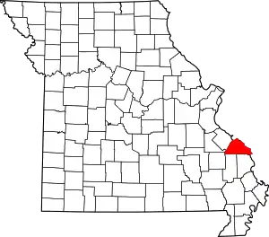 Map of Missouri highlighting Perry County | |
| Village | ||
| Townships | ||
| CDPs | ||
| Other communities | ||
| Abandoned villages | ||
| Footnotes | ‡This populated place also has portions in an adjacent county or counties | |
This article is issued from Wikipedia. The text is licensed under Creative Commons - Attribution - Sharealike. Additional terms may apply for the media files.