Shankarapura
Shankerpura a tiny hamlet in Udupi taluk, Karnataka state, India. Situated 3 km east of NH 17 (now NH 66). Shankerpura lies between the towns of Katapadi and Shirva. It can be reached via Katpadi-Shirva road on NH 66 at Katapadi from west and Karkala / Belmann / Shirva road from the east. It is about 10 km to the south of temple town Udupi, and 52 km north of the major port city of Mangalore.
Shankarapura
Pangla | |
|---|---|
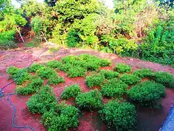
 Jasmine Garden | |
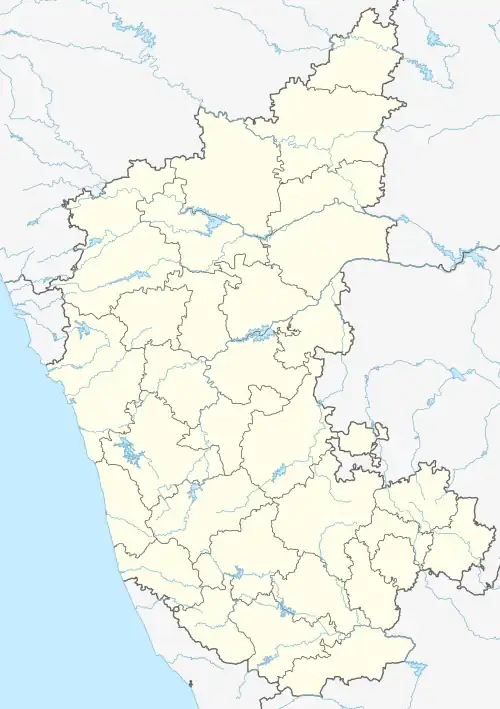
 Shankarapura Location in Karnataka, India  Shankarapura Shankarapura (India) | |
| Coordinates: 13°15′36″N 74°46′12″E | |
| Country | |
| State | Karnataka |
| District | Udupi |
| Government | |
| • Body | Grama panchayath |
| Time zone | UTC+5:30 (IST) |
| PIN | 574115 |
| Nearest city | Udupi |
| Lok Sabha constituency | Udupi-Chikmagalur |
| Civic agency | Grama panchayath |
People of this region speak Tulu, Kannada, Konkani, Byari, English and Hindi languages
Education
There are several institutions which provide quality education to the children of this region and also out station children.
- St. John's Higher Primary school (Kannada medium)
- St. John's High School (Kannada medium)
- St. John's Academy (English medium)
- St. John's Composite Pre-University College[1]
- Shri Madhwa Vadiraja Institute of Technology & Management
References
External links
- Shankerpura[Usurped!]
This article is issued from Wikipedia. The text is licensed under Creative Commons - Attribution - Sharealike. Additional terms may apply for the media files.