Shepparton Airport
Shepparton Airport (IATA: SHT, ICAO: YSHT) is located south of Shepparton, Victoria, Australia on the Goulburn Valley Highway.[5][6][7]
Shepparton Airport | |||||||||||||||
|---|---|---|---|---|---|---|---|---|---|---|---|---|---|---|---|
 | |||||||||||||||
| Summary | |||||||||||||||
| Airport type | Public | ||||||||||||||
| Operator | Greater Shepparton City Council | ||||||||||||||
| Location | Shepparton, Victoria | ||||||||||||||
| Opened | c. 1954[1][2][3] | ||||||||||||||
| Elevation AMSL | 374 ft / 114 m | ||||||||||||||
| Coordinates | 36°25′33″S 145°23′31″E | ||||||||||||||
| Website | greatershepparton | ||||||||||||||
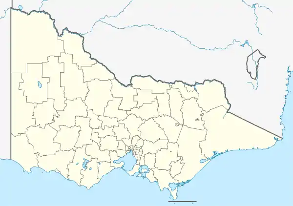
| Map | |||||||||||||||
 YSHT Location in Victoria | |||||||||||||||
| Runways | |||||||||||||||
| |||||||||||||||
References
- "OPPORTUNITIES FOR BUSINESS". Construction. New South Wales, Australia. 16 June 1954. p. 10. Retrieved 3 June 2019 – via National Library of Australia. , ...Shepparton. An airport is to be established adjoining the Goulburn Valley H'way. Shepparton Shire CI., the City CI., and Rodney Sh. have decided to buy .155 acres which will cost £17,700. The aerodrome will be two miles south of Shepparton...
- History of the Aerodrome, Greater Shepparton City Council
- "Shepparton Drome Conference". The Riverine Herald. No. 22, 751. New South Wales, Australia. 21 October 1950. p. 3. Retrieved 3 June 2019 – via National Library of Australia.
- YSHT – Shepparton (PDF). AIP En Route Supplement from Airservices Australia, effective 2023-09-07, Aeronautical Chart Archived 11 April 2012 at the Wayback Machine
- De Berquelle, Raymond (1994), Shepparton Airport Terminal. 1994, retrieved 3 June 2019
- "Ground Sought To Make Shepparton An Airport". Shepparton Advertiser. Vol. I, no. 1. Victoria, Australia. 1 May 1934. p. 1. Retrieved 3 June 2019 – via National Library of Australia.
- "SPOT NEWS". The Argus (Melbourne). No. 32, 680. Victoria, Australia. 31 May 1951. p. 7. Retrieved 3 June 2019 – via National Library of Australia. , ...Toolamba, seven miles from Shepparton and central to other towns, is preferred by the Civil Aviation Department as a site for Shepparton airport...
This article is issued from Wikipedia. The text is licensed under Creative Commons - Attribution - Sharealike. Additional terms may apply for the media files.