St. Johnsbury (CDP), Vermont
St. Johnsbury is a census-designated place (CDP) corresponding to the main settled areas in the town of St. Johnsbury, Caledonia County, Vermont, United States. As of the 2020 census it had a population of 5,994,[2] out of 7,364 in the entire town.
St. Johnsbury, Vermont | |
|---|---|
 St. Johnsbury  St. Johnsbury | |
| Coordinates: 44°25′9″N 72°0′55″W | |
| Country | United States |
| State | Vermont |
| County | Caledonia |
| Town | St. Johnsbury |
| Area | |
| • Total | 13.1 sq mi (33.8 km2) |
| • Land | 12.8 sq mi (33.2 km2) |
| • Water | 0.2 sq mi (0.6 km2) |
| Elevation | 600 ft (183 m) |
| Population | 5,994 |
| Time zone | UTC-5 (Eastern (EST)) |
| • Summer (DST) | UTC-4 (EDT) |
| ZIP Code | 05819 |
| Area code | 802 |
| FIPS code | 50-62125 |
| GNIS feature ID | 2378133[3] |
The CDP is in eastern Caledonia County, occupying the southern one-third of the town of St. Johnsbury. It includes the urban center of St. Johnsbury, the village of St. Johnsbury Center to the north up the valley of the Passumpsic River, and development along Route 2 to the east up the valley of the Moose River, but not as far as the village of East St. Johnsbury.
Interstate 91 passes through the west side of the CDP, with access from Exits 20, 21, and 22. I-91 leads north 42 miles (68 km) to Newport and south 59 miles (95 km) to White River. U.S. Routes 2 and 5 intersect in the center of the community. U.S. 2 leads west 35 miles (56 km) to Montpelier, the state capital, and east 28 miles (45 km) to Lancaster, New Hampshire, while U.S. 5 provides a local parallel route to I-91, leading north 8 miles (13 km) to Lyndonville and south 20 miles (32 km) to Wells River.
References
- "2020 U.S. Gazetteer Files – Vermont". United States Census Bureau. Retrieved October 5, 2021.
- "St. Johnsbury CDP, Vermont: 2020 DEC Redistricting Data (PL 94-171)". U.S. Census Bureau. Retrieved October 5, 2021.
- "St. Johnsbury Census Designated Place". Geographic Names Information System. United States Geological Survey, United States Department of the Interior.
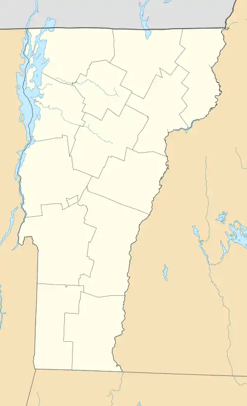
Municipalities and communities of Caledonia County, Vermont, United States | ||
|---|---|---|
| Towns | 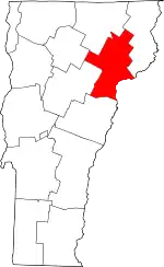 Map of Vermont highlighting Caledonia County | |
| Incorporated villages | ||
| CDPs | ||
| Unincorporated communities | ||