Tepi, Georgia
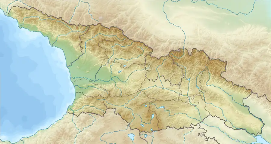
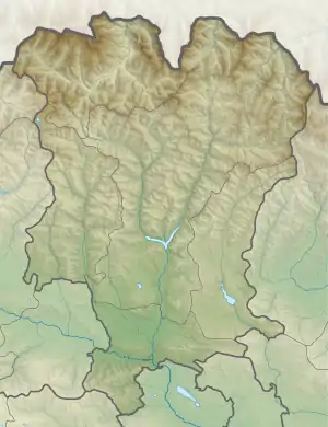
Tepi (Georgian: ტეფი) is a hamlet in the historical region of Khevi, north-eastern Georgia. It is located on the left bank of the Tergi river. Administratively, it is part of the Kazbegi Municipality in Mtskheta-Mtianeti. Distance to the municipality center Stepantsminda is 44.5 km. Hamlet was named after the Tepi mountain, elevation 3,934 m (12,907 ft),[2] located upstream of the small local creek.
Tepi
ტეფი | |
|---|---|
 Tepi Location of Tepi in Georgia  Tepi Tepi (Mtskheta-Mtianeti) | |
| Coordinates: 42°39′39″N 44°19′6″E | |
| Country | |
| Mkhare | Mtskheta-Mtianeti |
| Municipality | Kazbegi |
| Elevation | 2,320 m (7,610 ft) |
| Population (2014)[1] | |
| • Total | 0 |
| Time zone | UTC+4 (Georgian Time) |
Population
According to the 2014 census, no one lives in the village anymore.
Sources
- Georgian Soviet Encyclopedia, V. 9, p. 702, Tbilisi, 1985 year.
References
Wikimedia Commons has media related to Tepi_(village).
- "Population Census 2014". www.geostat.ge. National Statistics Office of Georgia. November 2014. Retrieved 28 June 2021.
- Tepi PeakVisor.com
This article is issued from Wikipedia. The text is licensed under Creative Commons - Attribution - Sharealike. Additional terms may apply for the media files.