Timms Hill
Timms Hill or Timm's Hill is the highest natural point in the U.S. state of Wisconsin[3] and is located in north-central Wisconsin in Timms Hill County Park in the Town of Hill in Price County. After being surveyed by Quentin Stevens of Ogema Telephone Co in 1962, Timms Hill was discovered to have an elevation of 1,951.5 ft (595 m). It is less than 1 mile (1.6 km) south of Highway 86, about midway between Ogema and Spirit and about 23 miles (37 km) west of Tomahawk.[4]
| Timms Hill | |
|---|---|
 Timms Hill, Wisconsin, July 2014. | |
| Highest point | |
| Elevation | 1,951.5 ft (594.8 m)[1] |
| Prominence | 425 ft (130 m)[2] |
| Listing | U.S. state high point 39th |
| Coordinates | 45°27′03″N 90°11′43″W[1] |
| Geography | |
 Timms Hill Wisconsin | |
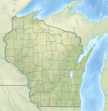
| Location | Price County, Wisconsin, US |
| Topo map | USGS Timms Hill |
| Climbing | |
| Easiest route | Hike |
Description
Timms Hill is located in Timms Hill County Park. A public lookout tower is atop the hill. Visible to the southeast is Rib Mountain (elev. 1,924 ft, 586 m), 44 miles away by line of sight.[5] The 10-mile (16 km) Timms Hill Trail connects to the Ice Age Trail,[6] a National Scenic Trail stretching 1,200 miles (1,900 km) across glacial terrain in Wisconsin.

See also
References
- "Ogema". NGS Data Sheet. National Geodetic Survey, National Oceanic and Atmospheric Administration, United States Department of Commerce. Retrieved 2010-01-26.
- "Timms Hill, Wisconsin". Peakbagger.com. Retrieved 2012-10-17.
- "Timms Hill (Wisconsin)". Geographic Names Information System. United States Geological Survey, United States Department of the Interior.
- Department of Transportation-Price County
- "Timms Hill, Wisconsin's highest natural point". State Trunk Tour. 2015-12-27. Retrieved 2021-04-05.
- Timm's Hill Trail Web Site
External links
- "Timms Hill". Geographic Names Information System. United States Geological Survey, United States Department of the Interior. Retrieved 2008-12-18.
- "Timms Hill, WI". TopoQuest Topographic Map Viewer. Retrieved 2008-12-18.
- "Timms Hill". SummitPost.org. Retrieved 2008-12-18.
- "Timms Hill Trail, WI". website. Retrieved 2018-01-03.
| Federal |
| ||||||||||||||||
|---|---|---|---|---|---|---|---|---|---|---|---|---|---|---|---|---|---|
| State |
| ||||||||||||||||