Vieux-Vy-sur-Couesnon
Vieux-Vy-sur-Couesnon (French pronunciation: [vjø vi syʁ kwenɔ̃], literally Vieux-Vy on Couesnon; Breton: Henwig-ar-C'houenon; Gallo: Vioez-Vic) is a commune in the Ille-et-Vilaine department in Brittany in northwestern France.
Vieux-Vy-sur-Couesnon
Henwig-ar-C'houenon | |
|---|---|
_%C3%89glise_Saint-Germain_-_Ext%C3%A9rieur_-_01.jpg.webp) The church in Vieux-Vy-sur-Couesnon | |
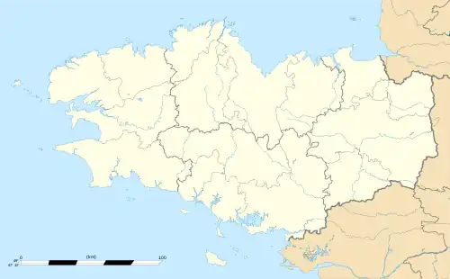
Location of Vieux-Vy-sur-Couesnon | |
 Vieux-Vy-sur-Couesnon  Vieux-Vy-sur-Couesnon | |
| Coordinates: 48°20′33″N 1°29′18″W | |
| Country | France |
| Region | Brittany |
| Department | Ille-et-Vilaine |
| Arrondissement | Rennes |
| Canton | Val-Couesnon |
| Government | |
| • Mayor (2020–2026) | Pascal Dewasmes[1] |
| Area 1 | 21.56 km2 (8.32 sq mi) |
| Population | 1,267 |
| • Density | 59/km2 (150/sq mi) |
| Time zone | UTC+01:00 (CET) |
| • Summer (DST) | UTC+02:00 (CEST) |
| INSEE/Postal code | 35355 /35490 |
| Elevation | 22–107 m (72–351 ft) |
| 1 French Land Register data, which excludes lakes, ponds, glaciers > 1 km2 (0.386 sq mi or 247 acres) and river estuaries. | |
Geography
Vieux-Vy-sur-Couesnon is located on the Couesnon River 33 km northeast of Rennes and 35 km (22 mi) south of Mont Saint-Michel.
The neighboring communes are Romazy, Chauvigné, Saint-Christophe-de-Valains, Saint-Ouen-des-Alleux, Mézières-sur-Couesnon, Gahard, and Sens-de-Bretagne.
History
The name Vieux-Vy-sur-Couesnon probably comes from the Latin Vetus Victus, "old market town." The settlement has had this name since at least 1063.
Economy
Industries:
- Silver-lead ore was mined in the 19th century at a place called Brais. The mine was closed in 1956.
- A granite quarry is still in operation in the northeast, not far from the former mine site.
Population
Inhabitants of Vieux-Vy-sur-Couesnon are called Vieuxviciens in French.
| Year | Pop. | ±% |
|---|---|---|
| 1962 | 1,023 | — |
| 1968 | 941 | −8.0% |
| 1975 | 928 | −1.4% |
| 1982 | 835 | −10.0% |
| 1990 | 863 | +3.4% |
| 1999 | 861 | −0.2% |
| 2009 | 1,095 | +27.2% |
Transportation
The village is served by just one bus route, the Rennes/Antrain line.
Sights
- The Saint-Germain church, most of which dates from the seventeenth century, although certain parts date from the eleventh century. The organ was installed in 1883.
- The Chateau of Moulinet, dating from the nineteenth century.
- The Grotto of Brais (dedicated to the Virgin Mary).
- Within the village boundaries there are seven watermills on the Couesnon river. These are mainly paper mills.
- The cyclopean Wall of Orange (from the Iron Age).
- A trough-shaped granite sarcophagus, first mentioned in 1020, located at the door to the church.
References
- "Répertoire national des élus: les maires". data.gouv.fr, Plateforme ouverte des données publiques françaises (in French). 2 December 2020.
- "Populations légales 2020". The National Institute of Statistics and Economic Studies. 29 December 2022.
External links
All these links are in French.
- Official website
- Présentation de la commune de Vieux-Vy-sur-Couesnon, Patrimoine Bretagne