West Wardsboro, Vermont
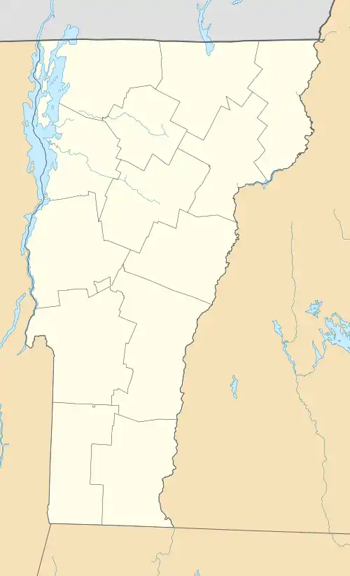
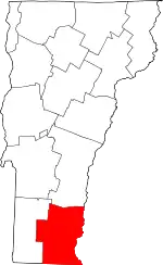
West Wardsboro is an unincorporated village in the town of Wardsboro, Windham County, Vermont, United States. The community is located along Vermont Route 100, 19.5 miles (31.4 km) northwest of Brattleboro. West Wardsboro has a post office with ZIP code 05360.[2][3]
West Wardsboro, Vermont | |
|---|---|
Village | |
 Post Office | |
 West Wardsboro | |
| Coordinates: 43°01′46″N 72°51′09″W | |
| Country | United States |
| State | Vermont |
| County | Windham |
| Elevation | 1,444 ft (440 m) |
| Time zone | UTC-5 (Eastern (EST)) |
| • Summer (DST) | UTC-4 (EDT) |
| ZIP code | 05360 |
| Area code | 802 |
| GNIS feature ID | 1461598[1] |
Climate
| Climate data for West Wardsboro 43.0334 N, 72.8445 W, Elevation: 1,410 ft (430 m) (1991–2020 normals) | |||||||||||||
|---|---|---|---|---|---|---|---|---|---|---|---|---|---|
| Month | Jan | Feb | Mar | Apr | May | Jun | Jul | Aug | Sep | Oct | Nov | Dec | Year |
| Average high °F (°C) | 28.5 (−1.9) |
31.1 (−0.5) |
39.0 (3.9) |
52.0 (11.1) |
64.6 (18.1) |
72.9 (22.7) |
77.5 (25.3) |
76.0 (24.4) |
69.1 (20.6) |
56.7 (13.7) |
44.7 (7.1) |
33.8 (1.0) |
53.8 (12.1) |
| Daily mean °F (°C) | 19.2 (−7.1) |
20.7 (−6.3) |
28.7 (−1.8) |
41.2 (5.1) |
53.0 (11.7) |
61.7 (16.5) |
66.4 (19.1) |
64.6 (18.1) |
57.5 (14.2) |
46.0 (7.8) |
35.6 (2.0) |
25.4 (−3.7) |
43.3 (6.3) |
| Average low °F (°C) | 9.8 (−12.3) |
10.2 (−12.1) |
18.3 (−7.6) |
30.3 (−0.9) |
41.4 (5.2) |
50.4 (10.2) |
55.3 (12.9) |
53.2 (11.8) |
45.9 (7.7) |
35.4 (1.9) |
26.5 (−3.1) |
17.0 (−8.3) |
32.8 (0.5) |
| Average precipitation inches (mm) | 4.67 (119) |
3.61 (92) |
4.52 (115) |
4.28 (109) |
4.50 (114) |
5.48 (139) |
4.36 (111) |
4.85 (123) |
4.50 (114) |
5.86 (149) |
4.55 (116) |
5.03 (128) |
56.21 (1,429) |
| Average snowfall inches (cm) | 33.20 (84.3) |
28.80 (73.2) |
24.60 (62.5) |
6.10 (15.5) |
0.20 (0.51) |
0.00 (0.00) |
0.00 (0.00) |
0.00 (0.00) |
0.00 (0.00) |
2.20 (5.6) |
8.40 (21.3) |
26.70 (67.8) |
130.2 (330.71) |
| Source 1: PRISM Climate Group[4] | |||||||||||||
| Source 2: NOAA (precipitation & snowfall)[5] | |||||||||||||
References
- "West Wardsboro". Geographic Names Information System. United States Geological Survey, United States Department of the Interior.
- United States Postal Service. "USPS - Look Up a ZIP Code". Retrieved April 29, 2017.
- "Postmaster Finder - Post Offices by ZIP Code". United States Postal Service. Retrieved April 29, 2017.
- "PRISM Climate Group, Oregon State University". PRISM Climate Group, Oregon State University. Retrieved October 22, 2023.
To find the table data on the PRISM website, start by clicking Coordinates (under Location); copy Latitude and Longitude figures from top of table; click Zoom to location; click Precipitation, Minimum temp, Mean temp, Maximum temp; click 30-year normals, 1991-2020; click 800m; click Interpolate grid cell values; click Retrieve Time Series button.
- "West Wardsboro, New Vermont 1991-2020 Monthly Normals". Retrieved October 24, 2023.
This article is issued from Wikipedia. The text is licensed under Creative Commons - Attribution - Sharealike. Additional terms may apply for the media files.
