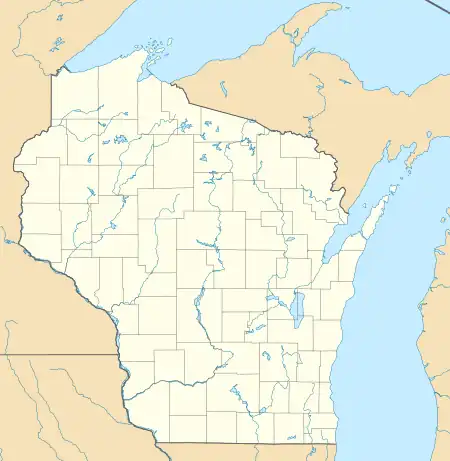
Wisconsin v. Michigan
Two Supreme Court cases, Wisconsin v. Michigan, 295 U.S. 455 (1935) and Wisconsin v. Michigan, 297 U.S. 547 (1936), settled a territorial dispute between Wisconsin and Michigan.
| Wisconsin v. Michigan | |
|---|---|
 | |
| Argued March 2, 1936 Decided March 16, 1936 | |
| Full case name | The State of Wisconsin v. The State of Michigan |
| Citations | 297 U.S. 547 (more) 56 S. Ct. 584; 80 L. Ed. 856 |
| Case history | |
| Prior | 295 U.S. 455 (1935). |
| Holding | |
| The boundary between Michigan and Wisconsin is amended as stated | |
| Court membership | |
| |
| Case opinion | |
| Majority | Unanimous |
 Disputed area Ships passing between Green Bay (left) and Lake Michigan (right) traveled between various islands.  Disputed area Disputed area (the United States) | |
| Geography | |
|---|---|
| Coordinates | 45°19′17″N 86°54′58″W |
| Major islands | 4: Detroit, Plum, Rock & Washington |
Background
The 1836 boundary description between Wisconsin and Michigan described the line through northwest Lake Michigan as "the most usual ship channel". This description needed clarification as two routes were in use into Green Bay. Multiple islands lay in between and all were claimed as part of both Door County, Wisconsin, and Delta County, Michigan. A similar case, Michigan v. Wisconsin 270 U.S. 295 (1926), had previously been brought to the Supreme Court but was dismissed.
Decision
In 1936, the Supreme Court decision chose the ship channel through the Rock Island Passage as the more common, so Wisconsin retained the intervening water area with its islands: Plum, Detroit, Washington, Hog, and Rock.

See also
- Toledo War: a border dispute between Michigan and Ohio
References
- "The Evolution of Michigan's Legal Boundary". Michigan State University Map Library. Retrieved June 4, 2022.
- Kellogg, Louise P. (1917). "The Disputed Michigan–Wisconsin Boundary". Wisconsin Magazine of History. Retrieved September 28, 2008.
- Rohde, William C. "Wisconsin–Upper Michigan State Boundary Surveys". Wisconsin Society of Land Surveyors. Archived from the original on September 25, 2009. Retrieved September 29, 2008. (Archived September 25, 2009)
- "Surveyor's Tree Blaze: Surveyor's tree blaze from the 1841 expedition to lay out the boundary between Wisconsin and Michigan, found at Trout Lake, Vilas County, Wisconsin". Wisconsin History Magazine. Archived from the original on August 3, 2008. Retrieved September 28, 2008. (Archived August 3, 2008)
- Captain Cram's reports were printed in: Message from the President of the United States, in compliance with a resolution from the Senate in relation to the survey to ascertain and designate the boundary-line between the state of Michigan and the territory of Wiskonsin. Washington, DC: Blair & Rives, Printers. 1841. Senate Document no. 151, 26th Congress, 2d session.
- United States Army Corps of Topographical Engineers (1842). Report of the Secretary of War: communicating, in compliance with a resolution of the Senate, a copy of the report of the survey of the boundary between the state of Michigan and the territory of Wisconsin. Washington, DC: Thomas Allen, Printers. Senate Document no. 170, 27th Congress, 2d session.
- Martin, Lawrence (September 1930). "The Michigan–Wisconsin Boundary Case in the Supreme Court of the United States, 1923–26". Annals of the Association of American Geographers. Vol. 20, no. 3. pp. 106–163.
External links
- Text of Wisconsin v. Michigan, 295 U.S. 455 (1935) is available from: Justia Library of Congress
- Text of Wisconsin v. Michigan, 297 U.S. 547 (1936) is available from: Justia Library of Congress