57th parallel north

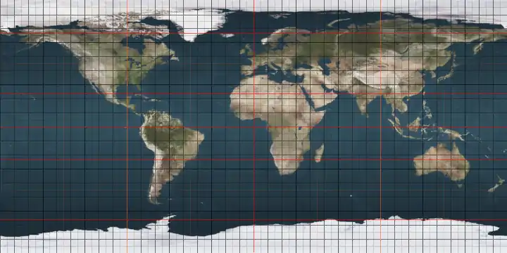
The 57th parallel north is a circle of latitude that is 57 degrees north of the Earth's equatorial plane. It crosses Europe, Asia, the Pacific Ocean, North America, and the Atlantic Ocean.

Line across the Earth
57°
57th parallel north

At this latitude the sun is visible for 17 hours, 53 minutes during the summer solstice and 6 hours, 43 minutes during the winter solstice. During the summer solstice, nighttime does not get beyond nautical twilight, a condition which lasts throughout the month of June. Everyday of the month of April can view both astronomical dawn and dusk.[1]

The maximum altitude of the Sun is > 18.00º in October and > 11.00º in November.

The only capital city on the 57th parallel north is Riga.

Around the world

Starting at the Prime Meridian and heading eastwards, the parallel 57° north passes through:

Co-ordinates Country, territory or ocean Notes
57°0′N 0°0′E Atlantic Ocean North Sea
57°0′N 8°26′E  Denmark North Jutlandic Island and Jutland mainland
57°0′N 10°21′E Atlantic Ocean Kattegat
57°0′N 12°21′E  Sweden Halland, Jönköping, Kronoberg and Kalmar counties
57°0′N 16°32′E Atlantic Ocean Kalmar Strait, Baltic Sea
57°0′N 16°47′E  Sweden Island of Öland
57°0′N 16°55′E Atlantic Ocean Baltic Sea
57°0′N 18°13′E  Sweden Island of Gotland
57°0′N 18°24′E Atlantic Ocean Baltic Sea
57°0′N 21°22′E  Latvia Courland, Semigallia
57°0′N 23°32′E Atlantic Ocean Gulf of Riga, Baltic Sea
57°0′N 23°54′E  Latvia Passing through Riga. Vidzeme, Latgale
57°0′N 27°43′E  Russia Passing through Ivanovo
57°0′N 138°45′E Pacific Ocean Sea of Okhotsk
57°0′N 156°31′E  Russia Kamchatka Peninsula
57°0′N 162°51′E Pacific Ocean Bering Sea
Passing just south of Otter Island and Saint Paul Island, Alaska,  United States
57°0′N 158°40′W  United States Alaska - Alaska Peninsula
57°0′N 156°33′W Pacific Ocean Gulf of Alaska
57°0′N 154°32′W  United States Alaska - Kodiak Island and Sitkalidak Island
57°0′N 153°17′W Pacific Ocean Gulf of Alaska
57°0′N 135°50′W  United States Alaska - Kruzof Island
57°0′N 135°45′W Pacific Ocean Sitka Sound
57°0′N 135°15′W  United States Alaska - Baranof Island
57°0′N 134°43′W Pacific Ocean Chatham Strait
Passing just south of Admiralty Island, Alaska,  United States
57°0′N 134°30′W Frederick Sound
57°0′N 134°0′W  United States Alaska - Kupreanof Island and the Alaska Panhandle
57°0′N 132°3′W  Canada British Columbia, Alberta, Saskatchewan, Manitoba
57°0′N 89°54′W Arctic Ocean Hudson Bay
Passing just north of the Belcher Islands, Nunavut,  Canada
57°0′N 76°42′W  Canada Nunavut, Quebec, Newfoundland and Labrador
57°0′N 61°22′W Atlantic Ocean
57°0′N 7°31′W  United Kingdom Island of Barra,  Scotland
57°0′N 7°22′W Atlantic Ocean Sea of the Hebrides
57°0′N 6°27′W  United Kingdom Island of Rùm,  Scotland
57°0′N 6°15′W Atlantic Ocean Sea of the Hebrides
57°0′N 5°50′W  United Kingdom  Scotland
57°0′N 2°10′W Atlantic Ocean North Sea

See also

References

  1. "Duration of Daylight/Darkness Table for One Year". Archived from the original on 18 July 2017. Retrieved 28 June 2011.
This article is issued from Wikipedia. The text is licensed under Creative Commons - Attribution - Sharealike. Additional terms may apply for the media files.