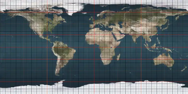
76th parallel north

The 76th parallel north is a circle of latitude that is 76 degrees north of the Earth's equatorial plane, in the Arctic. It crosses the Atlantic Ocean, Europe, Asia, the Arctic Ocean and North America.

Line across the Earth
76°
76th parallel north

At this latitude the sun is visible for 24 hours, 0 minutes during the summer solstice and nautical twilight during the winter solstice.

Around the world

Starting at the Prime Meridian and heading eastwards, the parallel 76° north passes through:

Co-ordinates Country, territory or sea Notes
76°0′N 0°0′E Atlantic Ocean Greenland Sea
Norwegian Sea
76°0′N 17°14′E Barents Sea
76°0′N 60°19′E  Russia Novaya Zemlya - Severny Island
76°0′N 66°31′E Kara Sea Passing just north of the Izvestiy TSIK Islands,  Russia
76°0′N 92°57′E  Russia Taymyr Peninsula
76°0′N 113°32′E Laptev Sea
76°0′N 137°54′E  Russia New Siberian Islands - Kotelny Island
76°0′N 139°34′E East Siberian Sea
76°0′N 140°58′E  Russia New Siberian Islands - Bunge Land and Faddeyevsky Island
76°0′N 142°8′E East Siberian Sea Passing just south of Zhokhov Island,  Russia
76°0′N 161°24′E Arctic Ocean
76°0′N 122°35′W  Canada Northwest Territories - Prince Patrick Island
76°0′N 119°27′W Crozier Channel
76°0′N 118°6′W  Canada Northwest Territories - Eglinton Island
76°0′N 117°33′W Kellett Strait
76°0′N 116°26′W  Canada Northwest Territories - Melville Island
76°0′N 111°58′W Hecla and Griper Bay
76°0′N 109°29′W  Canada Nunavut - Melville Island
76°0′N 107°35′W Weatherall Bay
76°0′N 106°44′W  Canada Nunavut - Melville Island
76°0′N 105°50′W Byam Martin Channel
76°0′N 103°22′W  Canada Nunavut - Massey Island
76°0′N 102°27′W Erskine Inlet Passing just north of Alexander Island, Nunavut,  Canada
76°0′N 101°44′W  Canada Nunavut - Bathurst Island, passing through the May Inlet
76°0′N 97°37′W Queens Channel Passing just north of Baring Island, Nunavut,  Canada
Passing just south of Dundas Island and Margaret Island, Nunavut,  Canada
76°0′N 94°35′W Wellington Channel Passing just north of Baillie-Hamilton Island, Nunavut,  Canada
76°0′N 92°33′W  Canada Nunavut - Devon Island
76°0′N 89°55′W Jones Sound
76°0′N 79°23′W  Canada Nunavut - Coburg Island
76°0′N 79°3′W Baffin Bay
76°0′N 67°15′W  Greenland Crimson Cliffs near Cape York
76°0′N 66°37′W Melville Bay
76°0′N 59°45′W  Greenland King Oscar Glacier
76°0′N 19°54′W Dove Bay
76°0′N 18°34′W  Greenland Store Koldewey Island
76°0′N 18°28′W Atlantic Ocean Greenland Sea

See also

This article is issued from Wikipedia. The text is licensed under Creative Commons - Attribution - Sharealike. Additional terms may apply for the media files.