El Shorouk
Al-Shorouk (Arabic: الشروق pronounced [eʃʃʊˈɾuːʔ, eʃʃɪˈɾuːʔ], "the Sunrise") is a satellite city in the Eastern Area of Cairo, Egypt.[1] As a 'new city' it is administered by the New Urban Communities Authority (NUCA).[2] Shorouk is one of the so-called Third Generation new cities, established by Presidential Decree 325/1995 allocating 11,000 acres of public land to NUCA, in addition to further allocations totalling 53,000 acres by 2017.[2]
El Shorouk
الشروق | |
|---|---|
city | |
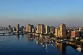
 House in El Shorouk | |
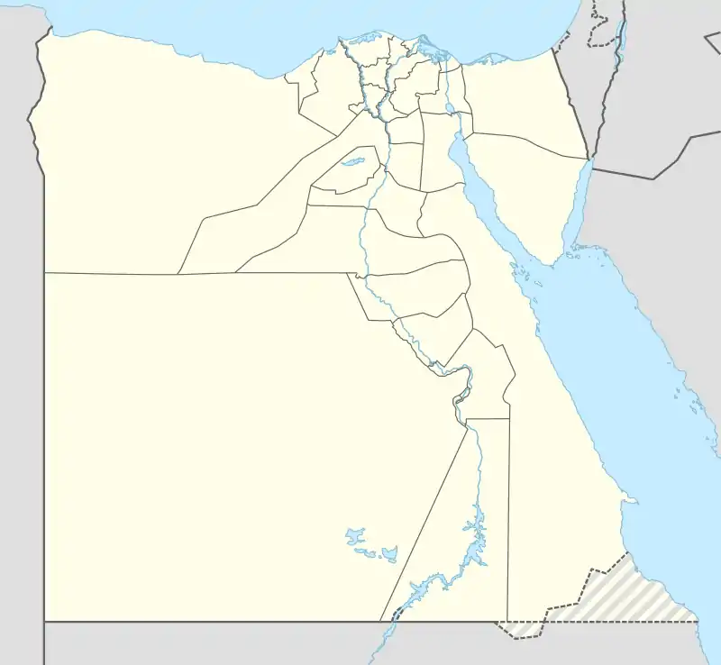
 El Shorouk Location in Egypt | |
| Coordinates: 30.144979°N 31.639912°E | |
| Country | |
| Governorate | Cairo |
| Time zone | UTC+2 (EST) |
Population
The establishment of the city highlights the efforts of the Egyptian state in managing urban expansion to achieve several development goals. One prominent goal being to absorb the expanding population of Egypt and to ease population pressures currently placed on the aging capital. Other major themes of this project are to redistribute the population of the Greater Cairo area and to raise the standard of living in the region through the provision of new job opportunities from industrial projects in the city. By 2030, 35 years after its inception, Shorouk was planned to have 500,000 people.
However, according to the 2017 census, it had only 87,285 residents.[3] This underachievement is not just in Shorouk, but across the new city programme where cities are planned according to wholly unrealistic population growth rates, and where they are inequitably distributed (by land area) to capture population growth.[4][5]
Climate
The Köppen-Geiger climate classification system classifies El Shorouk as a hot desert (BWh),[6][7] as is the rest of Egypt. The climate is generally extremely dry around the capital. In addition to scarce rain, extreme heat during summer months is a general climate feature of El Shorouk. Though, daytime temperatures are milder during autumn and winter.
| Climate data for El Shorouk (altitude: 189m) | |||||||||||||
|---|---|---|---|---|---|---|---|---|---|---|---|---|---|
| Month | Jan | Feb | Mar | Apr | May | Jun | Jul | Aug | Sep | Oct | Nov | Dec | Year |
| Average high °C (°F) | 18.2 (64.8) |
19.8 (67.6) |
23.3 (73.9) |
28 (82) |
32.3 (90.1) |
34.5 (94.1) |
35 (95) |
34.6 (94.3) |
31.9 (89.4) |
29.8 (85.6) |
25 (77) |
20.1 (68.2) |
27.7 (81.8) |
| Daily mean °C (°F) | 12.9 (55.2) |
13.9 (57.0) |
16.7 (62.1) |
20.5 (68.9) |
24.4 (75.9) |
26.9 (80.4) |
27.9 (82.2) |
27.9 (82.2) |
25.5 (77.9) |
23.5 (74.3) |
19.4 (66.9) |
14.7 (58.5) |
21.2 (70.1) |
| Average low °C (°F) | 7.7 (45.9) |
8.1 (46.6) |
10.2 (50.4) |
13 (55) |
16.5 (61.7) |
19.4 (66.9) |
20.8 (69.4) |
21.2 (70.2) |
19.2 (66.6) |
17.2 (63.0) |
13.9 (57.0) |
9.4 (48.9) |
14.7 (58.5) |
| Average precipitation mm (inches) | 6 (0.2) |
4 (0.2) |
4 (0.2) |
2 (0.1) |
0 (0) |
0 (0) |
0 (0) |
0 (0) |
0 (0) |
1 (0.0) |
4 (0.2) |
5 (0.2) |
26 (1.1) |
| Source: Climate-Data.org[6] | |||||||||||||
| Climate data for El Shorouk (altitude: 181m) | |||||||||||||
|---|---|---|---|---|---|---|---|---|---|---|---|---|---|
| Month | Jan | Feb | Mar | Apr | May | Jun | Jul | Aug | Sep | Oct | Nov | Dec | Year |
| Average high °C (°F) | 18.2 (64.8) |
19.9 (67.8) |
23.5 (74.3) |
28 (82) |
32.3 (90.1) |
34.5 (94.1) |
34.9 (94.8) |
34.7 (94.5) |
31.9 (89.4) |
29.9 (85.8) |
25 (77) |
20.1 (68.2) |
27.7 (81.9) |
| Daily mean °C (°F) | 12.9 (55.2) |
14 (57) |
16.9 (62.4) |
20.4 (68.7) |
24.3 (75.7) |
27 (81) |
27.8 (82.0) |
28 (82) |
25.5 (77.9) |
23.6 (74.5) |
19.4 (66.9) |
14.7 (58.5) |
21.2 (70.1) |
| Average low °C (°F) | 7.7 (45.9) |
8.2 (46.8) |
10.3 (50.5) |
12.9 (55.2) |
16.4 (61.5) |
19.5 (67.1) |
20.8 (69.4) |
21.3 (70.3) |
19.2 (66.6) |
17.3 (63.1) |
13.9 (57.0) |
9.4 (48.9) |
14.7 (58.5) |
| Average precipitation mm (inches) | 6 (0.2) |
4 (0.2) |
4 (0.2) |
1 (0.0) |
0 (0) |
0 (0) |
0 (0) |
0 (0) |
0 (0) |
1 (0.0) |
4 (0.2) |
5 (0.2) |
25 (1) |
| Source: Climate-Data.org[7] | |||||||||||||
References
- "Eastern Area". www.cairo.gov.eg. Retrieved 23 February 2023.
- "Shorouk City". New Urban Communities Authority. Archived from the original on 12 March 2023. Retrieved 15 March 2023.
- Central Agency for Public Mobilisation and Statistics (CAPMAS) (2017). "2017 Census for Population and Housing Conditions". CEDEJ-CAPMAS. Retrieved 21 February 2023.
- Sims, David (2011). Understanding Cairo: The Logic of a City Out of Control. AUC Press. pp. Ch 6.
- Shawkat, Yahia; Hendawy, MennatuAllah (20 November 2016). "Myths and Facts of Urban Planning in Egypt". Built Environment Observatory. Retrieved 15 March 2023.
- "Climate: Sherook - Climate graph, Temperature graph, Climate table". Climate-Data.org. Retrieved 7 February 2014.
- "Climate: Shoruq 2000 - Climate graph, Temperature graph, Climate table". Climate-Data.org. Retrieved 7 February 2014.

