Alhambra, Alberta
Alhambra is a hamlet in Alberta, Canada within Clearwater County.[2] It is located close to the David Thompson Highway, east of Rocky Mountain House.
Alhambra | |
|---|---|
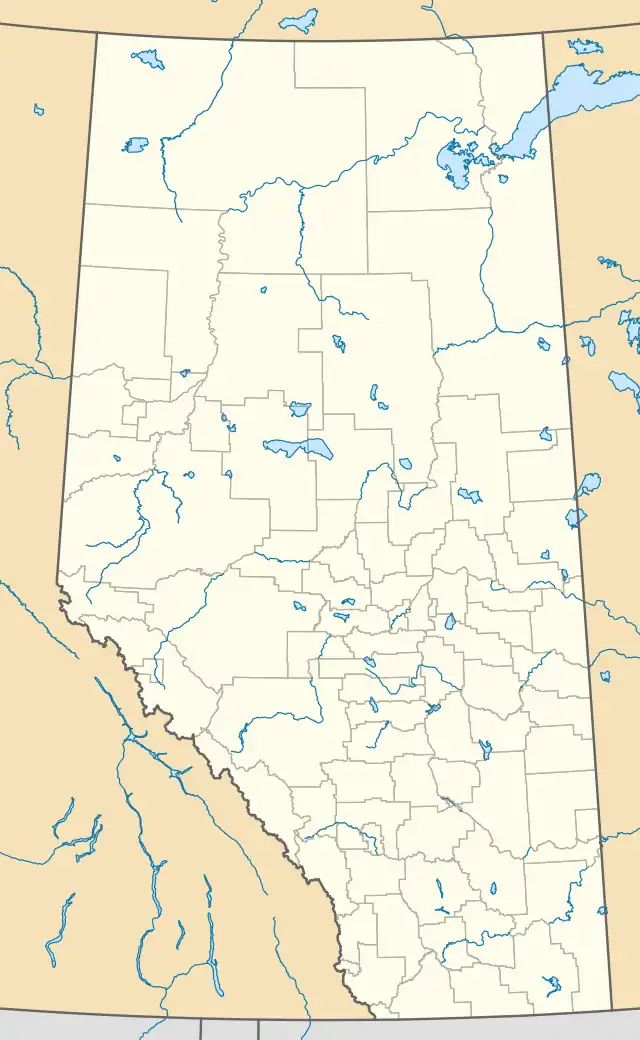 Location of Alhambra in Alberta | |
| Coordinates: 52.3431°N 114.6725°W | |
| Country | Canada |
| Province | Alberta |
| Census division | No. 9 |
| Municipal district | Clearwater County |
| Government | |
| • Type | Unincorporated |
| • Reeve | John Vandermeer |
| • Governing body | Clearwater County Council
|
| Elevation | 980 m (3,220 ft) |
| Population (1991)[1] | |
| • Total | 64 |
| Time zone | UTC−7 (MST) |
| • Summer (DST) | UTC−6 (MDT) |
The hamlet is located in census division No. 9. It was first settled in 1906 and the local post office had the name Horseguards. (Horseguards Creek is nearby.)[3]
It was re-named Alhambra when the railroad arrived in 1914.[4] The community takes its name from Alhambra, in Grenada, Spain, as an attempt to share some of that place's glory.[5]
Demographics
Alhambra recorded a population of 64 in the 1991 Census of Population conducted by Statistics Canada.[1]
References
- "91 Census: Unincorporated Places — Population and Dwelling Counts" (PDF). Statistics Canada. June 1993. Retrieved September 25, 2021.
- "Specialized and Rural Municipalities and Their Communities" (PDF). Alberta Municipal Affairs. January 12, 2022. Retrieved January 21, 2022.
- Place Names of Alberta, Volume 3 (1989)
- Rocky Mountain House Reunion Historical Society (1977). Days Before Yesterday : History of Rocky Mountain House district. Rocky Mountain House: Rocky Mountain House Reunion Historical Society. p. 104. ISBN 0-88925-003-0.
- Place-names of Alberta. Ottawa: Geographic Board of Canada. 1928. p. 11.
This article is issued from Wikipedia. The text is licensed under Creative Commons - Attribution - Sharealike. Additional terms may apply for the media files.