Bezanson, Alberta
Bezanson is a hamlet in northern Alberta, Canada within the County of Grande Prairie No. 1.[2] It is located approximately 30 kilometres (19 mi) east of Grande Prairie on Highway 43, west of the Smoky River.
Bezanson | |
|---|---|
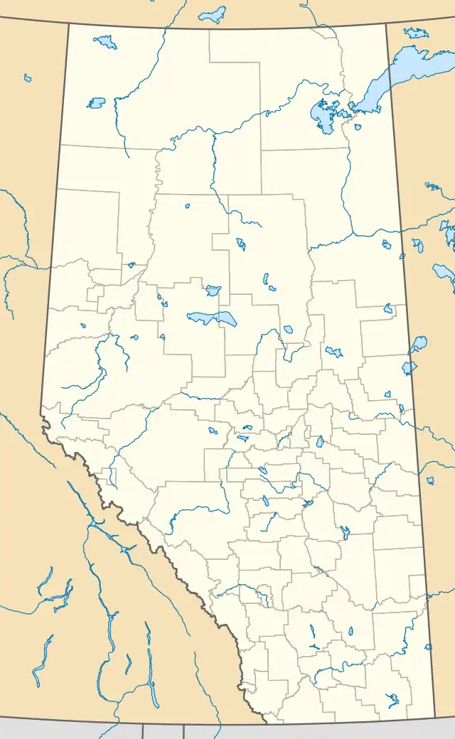 Location of Bezanson in Alberta | |
| Coordinates: 55.2286°N 118.3608°W | |
| Country | Canada |
| Province | Alberta |
| Region | Northern Alberta |
| Planning region | Upper Peace |
| Municipal district | Grande Prairie |
| Government | |
| • Type | Unincorporated |
| • Reeve | Leanne Beaupre |
| • Governing body | County of Grande Prairie No. 1 Council
|
| Area (2021)[1] | |
| • Land | 1.11 km2 (0.43 sq mi) |
| Population (2021)[1] | |
| • Total | 133 |
| • Density | 120.2/km2 (311/sq mi) |
| Time zone | UTC−7 (MST) |
| • Summer (DST) | UTC−6 (MDT) |
| Area codes | 780, 587, 825 |
History
Born near Halifax, Nova Scotia September 1, 1878, A. M. Bezanson (Ancel Maynard) had come to the Peace River Country in 1906. On returning to Edmonton he published a pamphlet, 'The Peace River Trail', in May 1907 in an effort to increase interest in the area. He settled near the junction of the Wapiti, Smoky, and Simonette rivers in 1908 and started a settlement there. Bezanson was established in 1910, when it was expected that the Grande Prairie-Grande Cache Railway would pass through the region. The settlement grew until 1914,[3] when it was found that the railway would pass to the north through Rycroft. The townsite was moved to be near the highway. A campsite and historical markers are at the original townsite 6 miles (9.7 km) to the southeast.
A ferry was opened in 1915 across the Smoky River. The first bridge over the river was built in 1949, near where the highway from Grande Prairie to Edmonton passed through the settlement. It was detoured in 2001, with the twinning of Highway 43 and the opening of the new Smoky River bridge.
Geography
The nearby Kleskun Hills are the northernmost badlands in Canada and contain one of the few unbroken areas of the original prairie.
Demographics
In the 2021 Census of Population conducted by Statistics Canada, Bezanson had a population of 133 living in 58 of its 63 total private dwellings, a change of 24.3% from its 2016 population of 107. With a land area of 1.11 km2 (0.43 sq mi), it had a population density of 119.8/km2 (310.3/sq mi) in 2021.[1]
As a designated place in the 2016 Census of Population conducted by Statistics Canada, Bezanson had a population of 107 living in 50 of its 55 total private dwellings, a change of -11.6% from its 2011 population of 121. With a land area of 1.11 km2 (0.43 sq mi), it had a population density of 96.4/km2 (249.7/sq mi) in 2016.[4]
See also
References
- "Population and dwelling counts: Canada and designated places". Statistics Canada. February 9, 2022. Retrieved February 10, 2022.
- "Specialized and Rural Municipalities and Their Communities" (PDF). Alberta Municipal Affairs. January 12, 2022. Retrieved January 21, 2022.
- Discover the Peace Country. "Bezason". Retrieved February 4, 2008.
- "Population and dwelling counts, for Canada, provinces and territories, and designated places, 2016 and 2011 censuses – 100% data (Alberta)". Statistics Canada. February 8, 2017. Retrieved February 13, 2017.