Blades Glacier
Blades Glacier (77°38′S 153°0′W) is a glacier flowing east from the snow-covered saddle just north of La Gorce Peak, Alexandra Mountains. It merges with Dalton Glacier on the north side of Edward VII Peninsula. It was mapped by the United States Geological Survey from surveys and from U.S. Navy air photos, 1959–65, and named by the Advisory Committee on Antarctic Names for William Robert Blades who served as navigator during U.S. Navy Operation Highjump (1946–47) and Operation Deep Freeze (1955–59).
| Blades Glacier | |
|---|---|
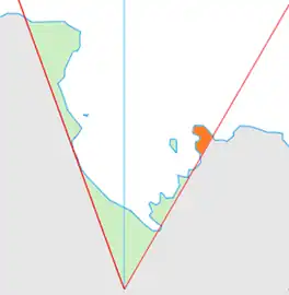 Location of King Edward VII Land (marked in orange) within the Ross Dependency | |
 Location of Blades Glacier in Antarctica | |
| Location | King Edward VII Land |
| Coordinates | 77°38′S 153°00′W |
| Thickness | unknown |
| Terminus | Dalton Glacier |
| Status | unknown |
References
 This article incorporates public domain material from "Blades Glacier". Geographic Names Information System. United States Geological Survey.
| Types | |||||||
|---|---|---|---|---|---|---|---|
| Anatomy | |||||||
| Processes | |||||||
| Measurements | |||||||
| Volcanic relations | |||||||
| Landforms |
| ||||||
| |||||||
This article is issued from Wikipedia. The text is licensed under Creative Commons - Attribution - Sharealike. Additional terms may apply for the media files.