Bowlees and Friar House Meadows
Bowlees and Friar House Meadows is a Site of Special Scientific Interest in the Teesdale district of west County Durham, England. It consists of three traditionally-managed hay meadows in the valley of the River Tees immediately upstream of Low Force waterfall.
| Bowlees and Friar House Meadows | |
|---|---|
 Site of Special Scientific Interest | |
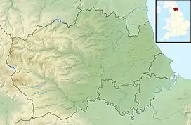
| Location | MAGiC MaP |
| Nearest town | Middleton-in-Teesdale |
| Coordinates | 54°38′58″N 2°9′16″W |
| Area | 5.61 ha (13.9 acres) |
| Established | 1991 |
| Governing body | Natural England |
| Website | Bowlees and Friar House Meadows SSSI |
The site is important as preserving a rich assemblage of plant species, including some that are locally rare, in a habitat that is widely threatened by intensive agricultural practices. [1]
References
- "Bowlees and Friar House Meadows SSSI : Reasons for designating the SSSI status" (PDF). Natural England. Retrieved 1 March 2022.
This article is issued from Wikipedia. The text is licensed under Creative Commons - Attribution - Sharealike. Additional terms may apply for the media files.