Kilmond Scar
Kilmond Scar is a Site of Special Scientific Interest in the County Durham district of south-west County Durham, England. It lies just south of the A66 road, about 3 km east of the village of Bowes.
| Kilmond Scar | |
|---|---|
 Site of Special Scientific Interest | |
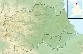
| Location | MAGiC MaP |
| Nearest town | Barnard Castle |
| Coordinates | 54°30′59″N 1°57′27″W |
| Area | 4.5 ha (11 acres) |
| Established | 1963 |
| Governing body | Natural England |
| Website | Kilmond Scar SSSI |
Kilmond Scar is a prominent south-facing scarp of Upper Carboniferous Limestone. Its rock ledges and scree slopes support a variety of drought-tolerant flora. Elsewhere, deeper limestone soils support a diversity of calcareous grassland species. [1]
References
- "Kilmond Scar SSSI : Reasons for designating the SSSI status" (PDF). Natural England. Retrieved 1 March 2022.
This article is issued from Wikipedia. The text is licensed under Creative Commons - Attribution - Sharealike. Additional terms may apply for the media files.