El Tajín National Airport
El Tajín National Airport (IATA: PAZ, ICAO: MMPA) is an international airport located in Tihuatlán, Veracruz, Mexico, near Poza Rica. The airport is named after the archeological site of El Tajín. It handles commercial air traffic for the cities of Poza Rica and Túxpam. Aeropuertos y Servicios Auxiliares, a federal government-owned corporation, operates the airport.
El Tajín National Airport Aeropuerto Nacional El Tajín | |||||||||||
|---|---|---|---|---|---|---|---|---|---|---|---|
| Summary | |||||||||||
| Airport type | Public | ||||||||||
| Operator | Aeropuertos y Servicios Auxiliares | ||||||||||
| Serves | Poza Rica, Veracruz | ||||||||||
| Location | Tihuatlán, Veracruz | ||||||||||
| Elevation AMSL | 497 ft / 151 m | ||||||||||
| Coordinates | 20°36′09″N 97°27′39″W | ||||||||||
| Website | www.aeropuertosasa.mx/PAZ | ||||||||||
| Map | |||||||||||
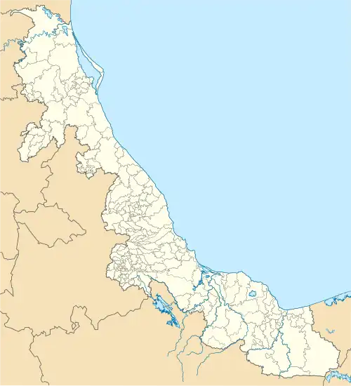 PAZ Location of airport in Veracruz 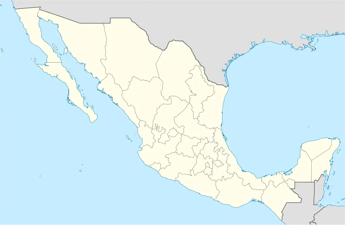 PAZ PAZ (Mexico) | |||||||||||
| Runways | |||||||||||
| |||||||||||
| Statistics (2022) | |||||||||||
| |||||||||||
Source: Aeropuertos y Servicios Auxiliares | |||||||||||
In 2021, the airport handled 2,645 passengers, and in 2022 it handled 2,666 passengers.[1]
Statistics
References
- "Estadística Operacional de los Aeropuertos de la Red ASA" (in Spanish). January 2023. Retrieved January 15, 2022.
This article is issued from Wikipedia. The text is licensed under Creative Commons - Attribution - Sharealike. Additional terms may apply for the media files.