Lake Waahi
Lake Waahi (or up to 1913 sometimes called Lake Waihi)[1] is located immediately to the west of Huntly, in the Waikato Region.[2] Lake Waahi is a riverine lake, which links to the Waikato River by way of the short Waahi Stream.[3] The smaller Lake Puketirini lies immediately to Waahi's southeast.
| Lake Waahi | |
|---|---|
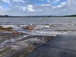
 Lake Waahi boat ramp | |
 Lake Waahi | |
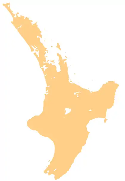
| Location | North Island |
| Coordinates | 37°33′30″S 175°07′30″E |
| Type | riverine lake |
| Primary outflows | Waahi Stream |
| Basin countries | New Zealand |
| Max. length | 3.2 km (2.0 mi) |
| Max. width | 0.6 km (0.37 mi) |
| Surface area | 522 hectares (1,290 acres) (open water) |
| Max. depth | 5 metres (16 ft) |
The lake has a maximum depth of five metres and the open water covers approximately 522 hectares,[2] though the lake extends further through marsh and fenland.
The lake is situated within predominantly pastoral land.
Pollution
During the 1970s the lake had a healthy cover of macrophytes, but by 1981 the lake became supertrophic, with high turbidity and microscopic algae. Monitoring to 2004 showed no significant changes.[4]
See also
References
- Parliament, New Zealand (1913). Parliamentary Debates: House of Representatives.
- "Lake Waahi". Waikato Regional Council. Retrieved 25 December 2018.
- "Riverine lakes". Waikato Regional Council. Retrieved 25 December 2018.
- "Water quality in Lake Waahi". www.waikatoregion.govt.nz. Retrieved 23 July 2020.
This article is issued from Wikipedia. The text is licensed under Creative Commons - Attribution - Sharealike. Additional terms may apply for the media files.