Manby
Manby is a village and civil parish in the East Lindsey district of Lincolnshire, England, and lies approximately 5 miles (8 km) east from Louth.[1] Manby contains a village post office. Other amenities, including a primary school, The Manby Arms public house, two village shops, and an Italian restaurant, are in the conjoined village of Grimoldby, separated from Manby by the B1200 road. It is also the administrative centre of the East Lindsey District. The population was 1,655 at the 2021 census.[2]
| Manby | |
|---|---|
 Guy Gibson Hall, Manby | |
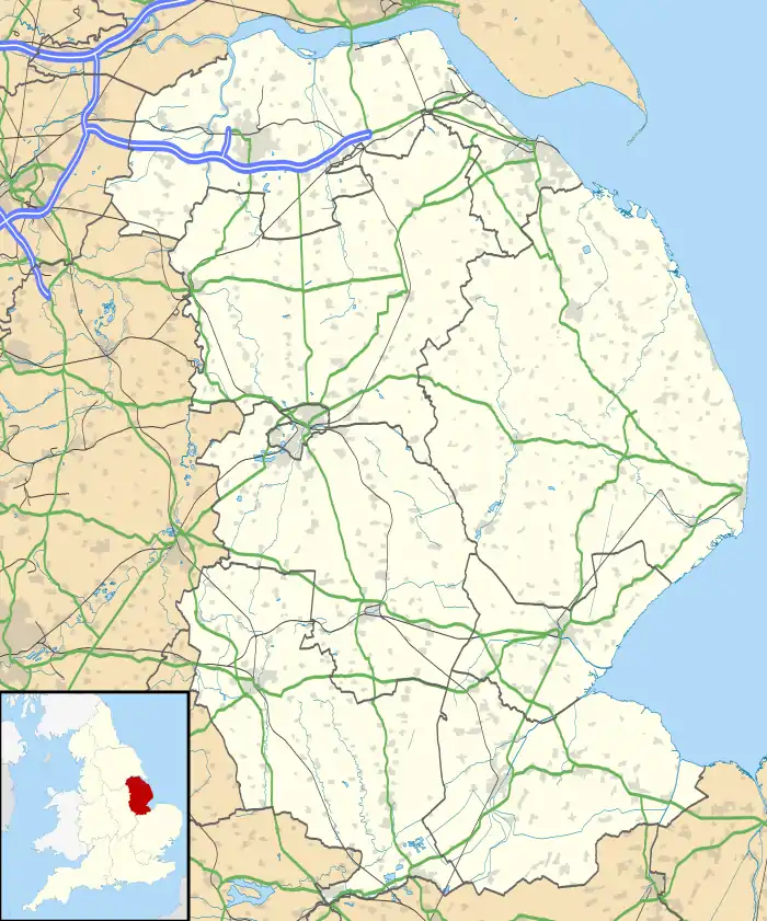 Manby Location within Lincolnshire | |
| Population | 1,655 (2021) |
| OS grid reference | TF398866 |
| • London | 125 mi (201 km) S |
| District | |
| Shire county | |
| Region | |
| Country | England |
| Sovereign state | United Kingdom |
| Post town | LOUTH |
| Postcode district | LN11 |
| Dialling code | 01507 |
| Police | Lincolnshire |
| Fire | Lincolnshire |
| Ambulance | East Midlands |
| UK Parliament | |
Manby scout group, the 1st Manby, has existed for 60 years. It is one of only two scout groups in the area to include all scouting sections: Beavers, aged 6–8; Cubs, aged 8–10; Scouts, aged 11½–14; and Explorers, aged 14–18. The other is the 6th Skegness.
RAF Manby

RAF Manby was situated near the village between 1938 and 1974.[3] Houses in Manby were built for RAF personnel, with village streets named after aeroplanes. In the late 1980s the entire pre war Married Quarter estate Carlton Park was sold to a Roger Byron-Collins company.
The airfield sold for commercial use. It is now a business park, and the former airfield has been returned to agriculture with an intensive cattle fattening plant. The headquarters of East Lindsey District Council occupies one of the buildings on the site, and Regents Academy also were based at the park until 2017.
In 2008 East Lindsey District Council proposed that the site be a possible location for an eco-town of 5,000 homes; it appeared on a government shortlist of ten such sites. After protests from residents the council voted to withdraw the plan.[4][5]
Climate
| Climate data for Manby 13m asl, 1991-2020 | |||||||||||||
|---|---|---|---|---|---|---|---|---|---|---|---|---|---|
| Month | Jan | Feb | Mar | Apr | May | Jun | Jul | Aug | Sep | Oct | Nov | Dec | Year |
| Average high °C (°F) | 7.1 (44.8) |
8.1 (46.6) |
10.5 (50.9) |
13.1 (55.6) |
15.9 (60.6) |
18.8 (65.8) |
21.6 (70.9) |
21.0 (69.8) |
18.5 (65.3) |
14.5 (58.1) |
10.4 (50.7) |
7.5 (45.5) |
13.9 (57.1) |
| Average low °C (°F) | 1.5 (34.7) |
1.6 (34.9) |
3.0 (37.4) |
4.5 (40.1) |
7.1 (44.8) |
9.9 (49.8) |
12.0 (53.6) |
12.2 (54.0) |
10.2 (50.4) |
7.5 (45.5) |
4.2 (39.6) |
1.8 (35.2) |
6.3 (43.3) |
| Average rainfall mm (inches) | 54.3 (2.14) |
43.3 (1.70) |
36.4 (1.43) |
40.3 (1.59) |
45.9 (1.81) |
62.2 (2.45) |
55.0 (2.17) |
59.1 (2.33) |
53.6 (2.11) |
62.9 (2.48) |
63.8 (2.51) |
57.9 (2.28) |
634.7 (25) |
| Average rainy days (≥ 1.0 mm) | 11.2 | 9.9 | 8.6 | 8.6 | 8.3 | 9.8 | 9.5 | 9.2 | 8.8 | 11.1 | 12.7 | 11.6 | 119.3 |
| Mean monthly sunshine hours | 64.3 | 85.3 | 127.9 | 163.8 | 215.5 | 200.5 | 209.7 | 198.5 | 154.6 | 115.8 | 73.4 | 59.5 | 1,668.8 |
| Source: Met Office[6] | |||||||||||||
References
- "Parish council". Lincolnshire County Council. Retrieved 19 March 2013.
- "Manby (Lincolnshire, East Midlands, United Kingdom) - Population Statistics, Charts, Map, Location, Weather and Web Information". www.citypopulation.de. Retrieved 4 January 2023.
- Historic England. "Manby Airfield (1402569)". Research records (formerly PastScape). Retrieved 19 March 2013.
- "Council rejects eco town scheme". BBC News. 26 June 2008. Retrieved 18 June 2009.
- "Eco-town 'would increase car use'". BBC News. 1 July 2008. Retrieved 18 June 2009.
- "Manby 1991–2020 averages". Met Office. Retrieved 16 December 2021.
External links
- Detailed historic record about Manby Airfield
- Information on the disused RAF Manby air traffic control tower