Oxkutzcab
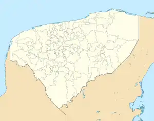
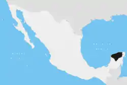
Oxkutzcab (Mayan pronunciation: [oʃkʼutsˈkab]) is a small city and the municipal seat of the Oxkutzcab Municipality, Yucatán in Mexico. As of 2015, the city has a population of 33,854.[1] Oxkutzcab is an agricultural center, focused mainly on the production of tropical fruits such as citrus, sapote, avocado, mango, papaya, mamey, huaya, saramuyo and plums.

Oxkutzcab | |
|---|---|
Municipal Seat | |
 City hall in April 2021 | |
 Coat of arms | |
 Oxkutzcab | |
| Coordinates: 20°18′20″N 89°25′06″W | |
| Country | |
| State | Yucatán |
| Municipality | Oxkutzcab |
| Elevation | 23 m (75 ft) |
| Population (2015) | |
| • Total | 21,508[1] |
| Time zone | UTC-6 (Central Standard Time) |
| Postal code | 97880 |
| Area code | 997 |
| Demonym | Oxkutzcabense |
History
Oxkutzcab was a town dating back to pre-Columbian times. With the fall of Mayapán in the 1440s, Oxkutzcab became a regional capital ruled by the Xiu family. After the Spanish conquest of Yucatán it was re-established as a Spanish colonial town in 1550; the Maya temples were demolished and a large Franciscan church built.
Oxkutzcab was granted the legal status of a city in the early 19th century. In 1847 the city was sacked in the Caste War of Yucatán. In 1879 the city was linked to the capital of Mérida by railroad.
Culture
Each year during the last days of November, the city hosts a "Festival of Oranges". There are two markets of tropical fruits: the "20 de Noviembre" market and "Solidarity" market, better known as "La central".
Demographics
Climate
| ||||||||||||||||||||||||||||||||||||||||||||||||||||||||||||||||||||||||||||||||||||||||||||||||||||||||||||||||||||||||||||
References
- Oxkutzkab sa Geonames.org (cc-by); post updated 2015-06-22; database download sa 2016-10-22
- "NASA Earth Observations Data Set Index". NASA. Retrieved 30 January 2016.
- Peel, M C; Finlayson, B L (2007). "Updated world map of the Köppen-Geiger climate classification". Hydrology and Earth System Sciences. 11 (5): 1633–1644. Bibcode:2007HESS...11.1633P. doi:10.5194/hess-11-1633-2007. Retrieved 30 January 2016.
