Shahrak-e Vali-ye Asr Sar Tang-e Bahram Khani
Shahrak-e Vali-ye Asr Sar Tang-e Bahram Khani (Persian: سهرك ولي عصرسرتنگ بهرام خاني, also Romanized as Shahrak-e Valī-ye ‘Aşr Sar Tang-e Bahrām Khānī; also known as Shahrak-e Valī‘aşr and Shahrak-e Valī-ye ‘Aşr)[3] is a village in Dustan Rural District of the Central District of Badreh County, Ilam province, Iran.
Shahrak-e Vali-ye Asr Sar Tang-e Bahram Khani
Persian: سهرك ولي عصرسرتنگ بهرام خاني | |
|---|---|
Village | |
 Shahrak-e Vali-ye Asr Sar Tang-e Bahram Khani 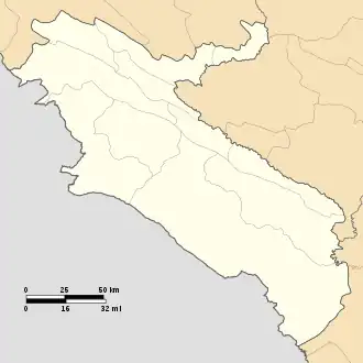 Shahrak-e Vali-ye Asr Sar Tang-e Bahram Khani | |
| Coordinates: 33°20′38″N 46°59′39″E[1] | |
| Country | |
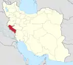
| Province | Ilam |
| County | Badreh |
| District | Central |
| Rural District | Dustan |
| Population (2016)[2] | |
| • Total | 1,931 |
| Time zone | UTC+3:30 (IRST) |
At the 2006 National Census, its population was 2,284 in 488 households, when it was in the former Badreh District of Darreh Shahr County..[4] The following census in 2011 counted 2,217 people in 598 households.[5] The latest census in 2016 showed a population of 1,931 people in 540 households, by which time the district had been separated from the county in the establishment of Badreh County.[6][7][8] It was the largest village in its rural district.[2]
References
- OpenStreetMap contributors (2 June 2023). "Shahrak-e Vali-ye Asr Sar Tang-e Bahram Khani, Badreh County" (Map). OpenStreetMap. Retrieved 2 June 2023.
- "Census of the Islamic Republic of Iran, 1395 (2016)". AMAR (in Persian). The Statistical Center of Iran. p. 16. Archived from the original (Excel) on 1 November 2020. Retrieved 19 December 2022.
- Shahrak-e Vali-ye Asr Sar Tang-e Bahram Khani can be found at GEOnet Names Server, at this link, by opening the Advanced Search box, entering "10104961" in the "Unique Feature Id" form, and clicking on "Search Database".
- "Census of the Islamic Republic of Iran, 1385 (2006)". AMAR (in Persian). The Statistical Center of Iran. p. 16. Archived from the original (Excel) on 20 September 2011. Retrieved 25 September 2022.
- "Census of the Islamic Republic of Iran, 1390 (2011)" (Excel). Iran Data Portal (in Persian). The Statistical Center of Iran. p. 16. Retrieved 19 December 2022.
- "Creating three counties in less than five years: Badreh also became a county". Islamic Republic News Agency (in Persian). 3 July 2013. Archived from the original on 2 June 2023. Retrieved 2 June 2023.
- "With the approval of the government board, Badreh District was upgraded to a county from the functions of Ilam province". Mehr News (in Persian). 8 July 2013. Archived from the original on 2 June 2023. Retrieved 2 June 2023.
- Rahimi, Mohammed Reza (7 July 2013). "The counties of Fardis, Badreh and Balaveh were added to the map of country divisions". Islamic Republic News Agency (in Persian). Ministry of Interior, Cabinet of Ministers. Archived from the original on 2 June 2023. Retrieved 2 June 2023.
Ilam province, Iran | ||||||||||||||||||||||||
|---|---|---|---|---|---|---|---|---|---|---|---|---|---|---|---|---|---|---|---|---|---|---|---|---|
Capital: Ilam | ||||||||||||||||||||||||
| Counties and cities |
|  | ||||||||||||||||||||||
| Sights |
| |||||||||||||||||||||||
| Populated places | ||||||||||||||||||||||||