Tuggerawong, New South Wales
Tuggerawong is a lakeside suburb of the Central Coast in New South Wales, Australia. It is located approximately 7 kilometres east of the Wyong town centre. Shopping, commercial facilities, schools and all normal community services are available in the district. In Wyong there is a rail connection and there is a connection to the Pacific Motorway at Tuggerah and Warnervale.
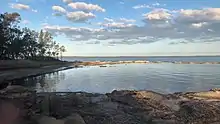
Tuggerah Lake from the west side
| Tuggerawong Central Coast, New South Wales | |||||||||||||||
|---|---|---|---|---|---|---|---|---|---|---|---|---|---|---|---|
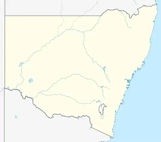 Tuggerawong | |||||||||||||||
| Coordinates | 33°16′51″S 151°28′33″E | ||||||||||||||
| Population | 1,204 (2011 census)[1] | ||||||||||||||
| • Density | 803/km2 (2,080/sq mi) | ||||||||||||||
| Postcode(s) | 2259 | ||||||||||||||
| Area | 1.5 km2 (0.6 sq mi) | ||||||||||||||
| Location | 7 km (4 mi) E of Wyong | ||||||||||||||
| LGA(s) | Central Coast Council | ||||||||||||||
| Parish | Munmorah | ||||||||||||||
| State electorate(s) | Wyong | ||||||||||||||
| Federal division(s) | Dobell | ||||||||||||||
| |||||||||||||||
References
- Australian Bureau of Statistics (31 October 2012). "Tuggerawong (State Suburb)". 2011 Census QuickStats. Retrieved 24 October 2013.
This article is issued from Wikipedia. The text is licensed under Creative Commons - Attribution - Sharealike. Additional terms may apply for the media files.