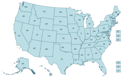
Data, Trends, and Maps is an interactive database that provides information about the health status and behaviors of Americans, state-by-state, via clickable maps, charts, and tables. Topics include obesity, breastfeeding, physical activity, and other health behaviors and related environmental and policy data from multiple sources.
This interactive tool allows visitors to study information either nationally or by state. Visitors can also examine data for adults, teens, and children by demographics like sex and race/ethnicity.

Explore by Topic / View one topic for all locations
View data for a specific health topic across the United States in a convenient map, chart, or table format. To learn more about a topic, first select a topic category –such as BREASTFEEDING, and then select whether you want to see data on behavior or policy/environmental supports related to the topic.
Use the Data Portal
Need to work with Data, Trends, and Maps data directly?
Go to the Nutrition, Physical Activity, and Obesity: Data, Trends, and Maps Data Portal to create your own filtered dataset, customize visualizations, and download data.
Site Resources
- Page last reviewed: May 3, 2017
- Page last updated: May 8, 2017
- Content source:


 ShareCompartir

