Ambatolaona
Ambatolaona is a rural municipality in Madagascar. It belongs to the district of Manjakandriana, which is a part of Analamanga Region. The population of the commune was estimated to be approximately 5,000 in 2001 commune census.[3]
Ambatolaona | |
|---|---|
 Ambatolaona Location in Madagascar | |
| Coordinates: 18°56′S 47°54′E | |
| Country | |
| Region | Analamanga |
| District | Manjakandriana |
| Area | |
| • Total | 120 km2 (50 sq mi) |
| Elevation | 1,380 m (4,530 ft) |
| Population (2001)[3] | |
| • Total | 5,000 |
| Time zone | UTC3 (EAT) |
| Postal code | 116 |
Only primary schooling is available. The majority 94.5% of the population of the commune are farmers. The most important crops are rice and beans, while other important agricultural products are maize, sweet potatoes and potatoes. Industry and services provide employment for 0.5% and 5% of the population, respectively.[3]
Roads
This municipality is crossed by the National Road 2.
Lakes
A part of Lake Mantasoa belongs to this municipality.
Tourism
The forest station of Saha Maintsoanala.[4]
Epidemcs
In November 2022 the pest had been reported from the village of Antanjona that belongs to this municipality.[5]
References
- Monograhie de la Commune
- Estimated based on DEM data from Shuttle Radar Topography Mission
- "ILO census data". Cornell University. 2002. Archived from the original on 5 July 2008. Retrieved 2008-06-03.
- https://www.saha-maintsoanala.mg/ecotourisme/ Saha Maintsoanala
- [L'Express de Madagascar: Epidemie de la Peste https://lexpress.mg/09/11/2022/epidemie-la-peste-detectee-dans-trois-districts-danalamanga/]
Capital: Antananarivo | ||
| Ambohidratrimo (24) - 105 | 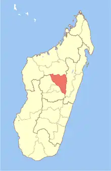 | |
| Andramasina (14) - 106 | ||
| Anjozorobe (18) - 107 | ||
| Ankazobe (15) - 108 | ||
| Antananarivo-Atsimondrano (26) - 102 |
| |
| Antananarivo-Avaradrano (16) - 103 | ||
| Antananarivo-Renivohitra (1) - 101 | ||
| Manjakandriana (23) - 116 | ||
8 districts; 137 communes | ||