Bennwihr
Bennwihr (French pronunciation: [bɛnviʁ] ⓘ; German: Bennweier) is a commune in Grand Est, in northeastern France.[3]
Bennwihr | |
|---|---|
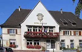 The town hall in Bennwihr | |
 Coat of arms | |
Location of Bennwihr | |
 Bennwihr 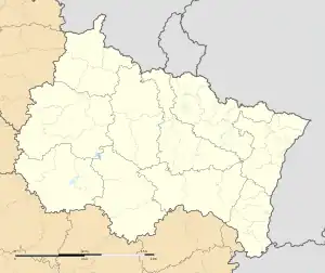 Bennwihr | |
| Coordinates: 48°08′39″N 7°19′34″E | |
| Country | France |
| Region | Grand Est |
| Department | Haut-Rhin |
| Arrondissement | Colmar-Ribeauvillé |
| Canton | Sainte-Marie-aux-Mines |
| Intercommunality | Pays de Ribeauvillé |
| Government | |
| • Mayor (2020–2026) | Francis Donath[1] |
| Area 1 | 6.59 km2 (2.54 sq mi) |
| Population | 1,373 |
| • Density | 210/km2 (540/sq mi) |
| Time zone | UTC+01:00 (CET) |
| • Summer (DST) | UTC+02:00 (CEST) |
| INSEE/Postal code | 68026 /68630 |
| Elevation | 183–354 m (600–1,161 ft) |
| 1 French Land Register data, which excludes lakes, ponds, glaciers > 1 km2 (0.386 sq mi or 247 acres) and river estuaries. | |
History
Bennwihr figures in a report from the year 777 by Charlemagne's missi dominici. They refer to the village as Beno Villare (Beno's domain), and mention the quality of its wines.
The village was leveled in December 1944 during fighting leading up to the battle known as the Colmar Pocket.
See also
References
- "Répertoire national des élus: les maires". data.gouv.fr, Plateforme ouverte des données publiques françaises (in French). 2 December 2020.
- "Populations légales 2020". The National Institute of Statistics and Economic Studies. 29 December 2022.
- INSEE commune file
Wikimedia Commons has media related to Bennwihr.
This article is issued from Wikipedia. The text is licensed under Creative Commons - Attribution - Sharealike. Additional terms may apply for the media files.