Bishop Lavis
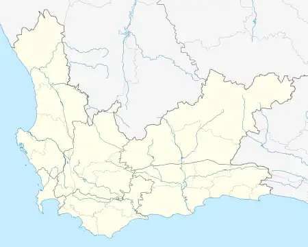
Bishop Lavis is a suburb of Cape Town, located 15 kilometres (9 mi) east of the city centre near Cape Town International Airport. It had, as of 2001, a population of 44,419 people, of whom 97% described themselves as Coloured, and 90% spoke Afrikaans while 9% spoke English.[2] The official 2011 census gave the population figure as 26,482.[1]
Bishop Lavis | |
|---|---|
.jpg.webp) An informal settlement in Bishop Lavis. | |
 Bishop Lavis  Bishop Lavis | |
| Coordinates: 33°56′55″S 18°34′33″E | |
| Country | South Africa |
| Province | Western Cape |
| Municipality | City of Cape Town |
| Established | Developed by Communicare between 1951 - 1960 |
| Area | |
| • Total | 2.58 km2 (1.00 sq mi) |
| Population (2011)[1] | |
| • Total | 26,482 |
| • Density | 10,000/km2 (27,000/sq mi) |
| Racial makeup (2011) | |
| • Black African | 1.9% |
| • Coloured | 97.2% |
| • Indian/Asian | 0.3% |
| • White | 0.0% |
| • Other | 0.5% |
| First languages (2011) | |
| • Afrikaans | 86.4% |
| • English | 12.0% |
| • Other | 1.5% |
| Time zone | UTC+2 (SAST) |
| Postal code (street) | 7490 |
| Area code | 021 |
Bishop Lavis is one of many townships that was established in the Western Cape Province by the country's reigning regime at the introduction of apartheid in South Africa. During this period non-white citizens were moved from their lands and homes across the region (because it was abruptly designated for "whites only"), into these townships.
References
- "Sub Place Bishop Lavis". Census 2011.
- "Bishop Lavis". Census 2001. City of Cape Town. Archived from the original on 2010-03-02. Retrieved 20 March 2012.
This article is issued from Wikipedia. The text is licensed under Creative Commons - Attribution - Sharealike. Additional terms may apply for the media files.