Châteauneuf-Villevieille
Châteauneuf-Villevieille (Occitan: Castèunòu e Vilavièlha; Italian: Castelnuovo Villavecchia) is a commune in the Alpes-Maritimes department in southeastern France.
Châteauneuf-Villevieille | |
|---|---|
 A general view of Châteauneuf-Villevieille | |
 Coat of arms | |
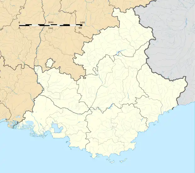
Location of Châteauneuf-Villevieille | |
 Châteauneuf-Villevieille  Châteauneuf-Villevieille | |
| Coordinates: 43°48′00″N 7°17′00″E | |
| Country | France |
| Region | Provence-Alpes-Côte d'Azur |
| Department | Alpes-Maritimes |
| Arrondissement | Nice |
| Canton | Contes |
| Intercommunality | Pays des Paillons |
| Government | |
| • Mayor (2020–2026) | Edmond Mari[1] |
| Area 1 | 8.38 km2 (3.24 sq mi) |
| Population | 956 |
| • Density | 110/km2 (300/sq mi) |
| Demonym | Madounencs |
| Time zone | UTC+01:00 (CET) |
| • Summer (DST) | UTC+02:00 (CEST) |
| INSEE/Postal code | 06039 /06390 |
| Elevation | 234–901 m (768–2,956 ft) (avg. 650 m or 2,130 ft) |
| 1 French Land Register data, which excludes lakes, ponds, glaciers > 1 km2 (0.386 sq mi or 247 acres) and river estuaries. | |
History
The village was founded in the Middle Ages by inhabitants of nearby Contes. They were seeking a site sheltered from the instability in the valley at the time.
Jean de Revest (?-1347) was the coseigneur (lord) of Châteauneuf. He was a knight, a judge in Avignon (1314), grand judge of Piedmont (1322), judge of appeal of the Kingdom of Sicily (1331), and lieutenant to the seneschal (1340). Born to a family that had been in Nice since the late 13th century, he later moved to Aix. In 1309 or 1310 he married Sybille Chabaud, lady of Châteauneuf and daughter of the noble Boniface Chabaud.
The territory of Bendejun and Cantaron belonged formerly to the commune. They were separated in 1911 to form separate communes.
Formerly called Châteauneuf, the commune was renamed Châteauneuf-de-Contes in 1961. In 1992, the name was changed again to Châteauneuf-Villevieille.
Geography
It is located 22 km (14 mi) north of Nice,[3] its administrative center , in the Férion mountain range.[3]
Population
| Year | Pop. | ±% |
|---|---|---|
| 1962 | 206 | — |
| 1968 | 225 | +9.2% |
| 1975 | 260 | +15.6% |
| 1982 | 402 | +54.6% |
| 1990 | 571 | +42.0% |
| 1999 | 684 | +19.8% |
| 2008 | 835 | +22.1% |
References
- "Répertoire national des élus: les maires". data.gouv.fr, Plateforme ouverte des données publiques françaises (in French). 2 December 2020.
- "Populations légales 2020". The National Institute of Statistics and Economic Studies. 29 December 2022.
- "Châteauneuf Villevieille". Retrieved 19 January 2008.
- "Chateauneuf-Villevieille Town". Retrieved 17 January 2008.
External links
- Châteauneuf-Villevieille on Provenceweb (in French)
- Personal website about the ruins of the medieval village (in French)