Sigale
Sigale (French pronunciation: [siɡal]; Occitan: Sigala; Italian: Cigala, formerly) is a rural commune in the Alpes-Maritimes department in the southeastern Provence-Alpes-Côte d'Azur region in France. It is part of Préalpes d'Azur Regional Natural Park.[3] In 2020, it had a population of 197.
Sigale
| |
|---|---|
 A general view of Sigale | |
 Coat of arms | |
Location of Sigale | |
 Sigale 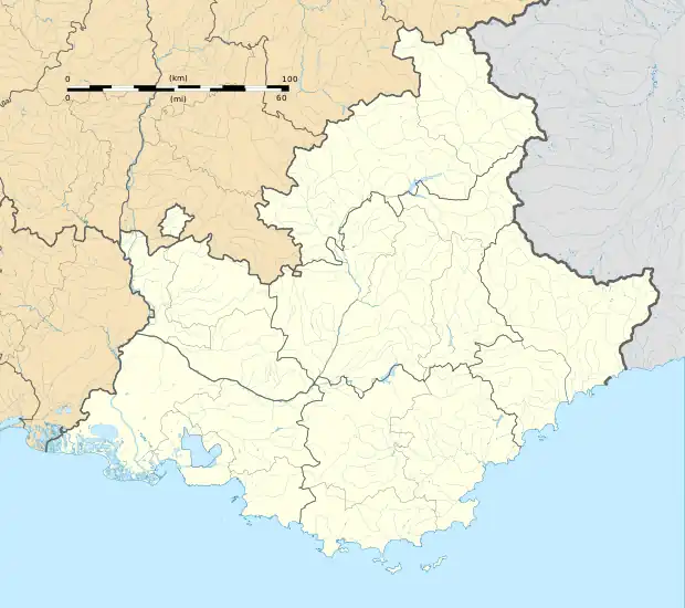 Sigale | |
| Coordinates: 43°52′24″N 6°57′55″E | |
| Country | France |
| Region | Provence-Alpes-Côte d'Azur |
| Department | Alpes-Maritimes |
| Arrondissement | Nice |
| Canton | Vence |
| Government | |
| • Mayor (2020–2026) | Arnaud Prigent[1] |
| Area 1 | 5.62 km2 (2.17 sq mi) |
| Population | 197 |
| • Density | 35/km2 (91/sq mi) |
| Time zone | UTC+01:00 (CET) |
| • Summer (DST) | UTC+02:00 (CEST) |
| INSEE/Postal code | 06135 /06910 |
| Elevation | 327–1,108 m (1,073–3,635 ft) (avg. 630 m or 2,070 ft) |
| 1 French Land Register data, which excludes lakes, ponds, glaciers > 1 km2 (0.386 sq mi or 247 acres) and river estuaries. | |
Demographics
| Year | Pop. | ±% |
|---|---|---|
| 1701 | 980 | — |
| 1754 | 450 | −54.1% |
| 1790 | 550 | +22.2% |
| 1962 | 138 | −74.9% |
| 1968 | 112 | −18.8% |
| 1975 | 155 | +38.4% |
| 1982 | 145 | −6.5% |
| 1990 | 160 | +10.3% |
| 1999 | 181 | +13.1% |
| 2008 | 210 | +16.0% |
References
- "Répertoire national des élus: les maires". data.gouv.fr, Plateforme ouverte des données publiques françaises (in French). 2 December 2020.
- "Populations légales 2020". The National Institute of Statistics and Economic Studies. 29 December 2022.
- (in French) Les communes du Parc, www.parc-prealpesdazur.fr.
Wikimedia Commons has media related to Sigale.
This article is issued from Wikipedia. The text is licensed under Creative Commons - Attribution - Sharealike. Additional terms may apply for the media files.