Duranus
Duranus (French pronunciation: [dyʁanys]; Occitan: Duranús; Italian: Duranusso) is a commune in the Alpes-Maritimes department in southeastern France.
Duranus | |
|---|---|
 The church of Duranus | |
 Coat of arms | |
Location of Duranus | |
 Duranus 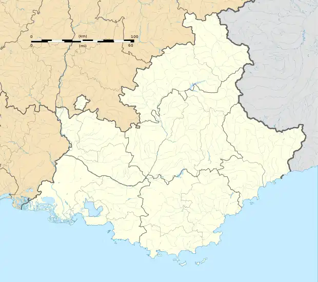 Duranus | |
| Coordinates: 43°53′39″N 7°15′35″E | |
| Country | France |
| Region | Provence-Alpes-Côte d'Azur |
| Department | Alpes-Maritimes |
| Arrondissement | Nice |
| Canton | Tourrette-Levens |
| Intercommunality | Métropole Nice Côte d'Azur |
| Government | |
| • Mayor (2020–2026) | Jean-Michel Maurel[1] |
| Area 1 | 16.10 km2 (6.22 sq mi) |
| Population | 152 |
| • Density | 9.4/km2 (24/sq mi) |
| Time zone | UTC+01:00 (CET) |
| • Summer (DST) | UTC+02:00 (CEST) |
| INSEE/Postal code | 06055 /06670 |
| Elevation | 194–1,500 m (636–4,921 ft) |
| 1 French Land Register data, which excludes lakes, ponds, glaciers > 1 km2 (0.386 sq mi or 247 acres) and river estuaries. | |
Population
| Year | Pop. | ±% |
|---|---|---|
| 1982 | 118 | — |
| 1990 | 142 | +20.3% |
| 1999 | 156 | +9.9% |
| 2008 | 170 | +9.0% |
Tourism
Duranus is one of sixteen villages grouped together by the Métropole Nice Côte d'Azur tourist department as the Route des Villages Perchés (Route of Perched Villages). The others are as follows: Aspremont, Carros, Castagniers, Coaraze, Colomars, Èze, Falicon, La Gaude, Lantosque, Levens, La Roquette-sur-Var, Saint-Blaise, Saint-Jeannet, Tourrette-Levens and Utelle.[3]
References
- "Répertoire national des élus: les maires". data.gouv.fr, Plateforme ouverte des données publiques françaises (in French). 2 December 2020.
- "Populations légales 2020". The National Institute of Statistics and Economic Studies. 29 December 2022.
- "The route of perched villages" (PDF). Métropole Nice Côte d'Azur. 2013.
External links
Wikimedia Commons has media related to Duranus.
This article is issued from Wikipedia. The text is licensed under Creative Commons - Attribution - Sharealike. Additional terms may apply for the media files.