Chamita, New Mexico
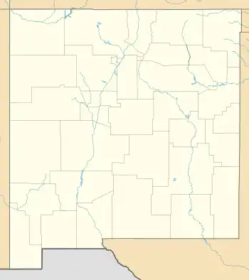
Chamita is a census-designated place in Rio Arriba County, New Mexico, United States. Its population was 870 as of the 2010 census.[4] New Mexico State Road 74 passes through the community. During its earlier years, the community was known as San Pedro De Chamita and served as the first county seat for Rio Arriba county.
Chamita, New Mexico | |
|---|---|
 Chamita | |
| Coordinates: 36°04′13″N 106°05′49″W | |
| Country | United States |
| State | New Mexico |
| County | Rio Arriba |
| Area | |
| • Total | 3.90 sq mi (10.11 km2) |
| • Land | 3.85 sq mi (9.97 km2) |
| • Water | 0.05 sq mi (0.14 km2) |
| Elevation | 5,725 ft (1,745 m) |
| Population | |
| • Total | 1,005 |
| • Density | 260.97/sq mi (100.77/km2) |
| Time zone | UTC-7 (Mountain (MST)) |
| • Summer (DST) | UTC-6 (MDT) |
| Area code | 505 |
| GNIS feature ID | 899579[3] |
Geography
Chamita is located at 36.0703003°N 106.0969681°W.[3] According to the U.S. Census Bureau, the community has an area of 3.902 square miles (10.11 km2); 3.851 square miles (9.97 km2) of its area is land, and 0.051 square miles (0.13 km2) is water.[4] Both the Rio Grande and the Rio Chama flow through the community. The two rivers converge south of the area.
Education
It is in Española Public Schools.[6] The comprehensive public high school is Española Valley High School.
References
- "ArcGIS REST Services Directory". United States Census Bureau. Retrieved October 12, 2022.
- "Census Population API". United States Census Bureau. Retrieved October 12, 2022.
- "Chamita". Geographic Names Information System. United States Geological Survey, United States Department of the Interior.
- "2010 Census Gazetteer Files - Places: New Mexico". U.S. Census Bureau. Retrieved December 31, 2016.
- "Census of Population and Housing". Census.gov. Retrieved June 4, 2016.
- "2020 CENSUS - SCHOOL DISTRICT REFERENCE MAP: Rio Arriba County, NM" (PDF). U.S. Census Bureau. Retrieved July 30, 2021.
External links
![]() Media related to Chamita, New Mexico at Wikimedia Commons
Media related to Chamita, New Mexico at Wikimedia Commons
Municipalities and communities of Rio Arriba County, New Mexico, United States | ||
|---|---|---|
| City | 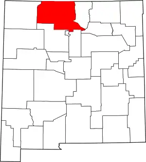 Map of New Mexico highlighting Rio Arriba County | |
| Village | ||
| CDPs |
| |
| Other communities | ||
| Ghost towns and former settlements | ||
| Indian reservations | ||
| Footnotes | ‡This populated place also has portions in an adjacent county or counties | |