Chili, New Mexico
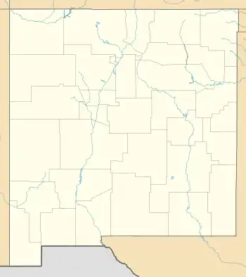
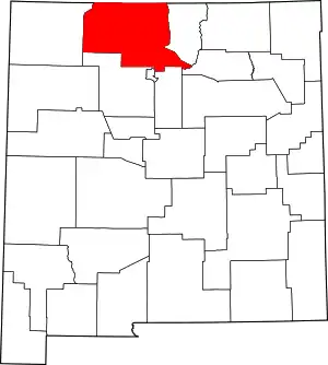
Chili is an unincorporated community and census-designated place in Rio Arriba County, New Mexico. Its population was 654 as of the 2010 census.[4] U.S. Route 84 passes through the community. The name comes from a station of the D&RG railroad that was known locally as the "Chili Line."[5]
Chili, New Mexico | |
|---|---|
 Chili | |
| Coordinates: 36°06′18″N 106°08′59″W | |
| Country | United States |
| State | New Mexico |
| County | Rio Arriba |
| Area | |
| • Total | 3.32 sq mi (8.59 km2) |
| • Land | 3.28 sq mi (8.50 km2) |
| • Water | 0.03 sq mi (0.09 km2) |
| Elevation | 5,745 ft (1,751 m) |
| Population | |
| • Total | 541 |
| • Density | 164.79/sq mi (63.62/km2) |
| Time zone | UTC-7 (Mountain (MST)) |
| • Summer (DST) | UTC-6 (MDT) |
| Area code | 505 |
| GNIS feature ID | 905096[3] |
Geography
Chili is located at 36.1050216°N 106.1497467°W.[3] According to the U.S. Census Bureau, the community has an area of 3.317 square miles (8.59 km2); 3.283 square miles (8.50 km2) of its area is land, and 0.034 square miles (0.088 km2) is water.[4]
The Rio del Oso flows by or through Chili, within its zip code 87537, where it crosses under U.S. Route 84, and forms part of the northwest boundary of this zip code region. The Rio Chama forms the northeast boundary of this zip code region.[6]
Education
Chili is served by Española Public Schools.[8] The comprehensive public high school is Española Valley High School.
References
- "ArcGIS REST Services Directory". United States Census Bureau. Retrieved October 12, 2022.
- "Census Population API". United States Census Bureau. Retrieved October 12, 2022.
- "Chili". Geographic Names Information System. United States Geological Survey, United States Department of the Interior.
- "2010 Census Gazetteer Files - Places: New Mexico". U.S. Census Bureau. Retrieved December 31, 2016.
- Julyan, Robert (1996). The Place Names of New Mexico. University of New Mexico Press. p. 80. ISBN 0826316891.
- "Chili, New Mexico ZIP Code". codigo-postal.co. Retrieved September 27, 2021.
- "Census of Population and Housing". Census.gov. Retrieved June 4, 2016.
- "2020 Census – School District Reference Map: Rio Arriba County, NM" (PDF). U.S. Census Bureau. Retrieved July 30, 2021.
