Los Ojos, New Mexico
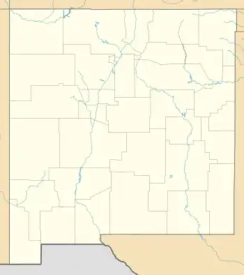
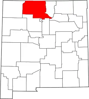
Los Ojos is a census-designated place (CDP) in Rio Arriba County, New Mexico, United States. Its population was 125 as of the 2010 census.[4] Los Ojos has a post office with ZIP code 87551, which opened on February 7, 1877.[5][6] The community is located near U.S. routes 64 and 84.
Los Ojos, New Mexico | |
|---|---|
Census-designated place | |
 Los Ojos, New Mexico | |
| Coordinates: 36°43′45″N 106°34′12″W | |
| Country | United States |
| State | New Mexico |
| County | Rio Arriba |
| Area | |
| • Total | 1.40 sq mi (3.63 km2) |
| • Land | 1.39 sq mi (3.61 km2) |
| • Water | 0.01 sq mi (0.02 km2) |
| Elevation | 7,346 ft (2,239 m) |
| Population | |
| • Total | 97 |
| • Density | 69.68/sq mi (26.91/km2) |
| Time zone | UTC-7 (Mountain (MST)) |
| • Summer (DST) | UTC-6 (MDT) |
| ZIP code | 87551 |
| Area code | 575 |
| GNIS feature ID | 923643[3] |
Description

Historically, the community has also been known as Park View.[7] Los Ojos was founded in 1860, and a nearby colony, Park View, was established in 1876.[7] A post office was opened in Park View in 1877, but the colony and post office were soon abandoned.[7] The post office was reopened in 1880 in Los Ojos, but the post office kept its original name, Park View.[7] Los Ojos thus came to be referred to on maps as Park View, but in 1971, citizens petitioned to have the name officially changed back to Los Ojos, and the petition was granted in 1972.[7]
Geography
Los Ojos is located at 36.738560°N 106.561622°W. According to the U.S. Census Bureau, the community has an area of 1.401 square miles (3.63 km2); 1.392 square miles (3.61 km2) of its area is land, and 0.009 square miles (0.023 km2) is water.[8]
Education
It is within the Chama Valley Independent Schools school district.[10]
References
- "ArcGIS REST Services Directory". United States Census Bureau. Retrieved October 12, 2022.
- "Census Population API". United States Census Bureau. Retrieved October 12, 2022.
- "Los Ojos". Geographic Names Information System. United States Geological Survey, United States Department of the Interior.
- "U.S. Census website". United States Census Bureau. Retrieved May 14, 2011.
- "Postmaster Finder - Post Offices by ZIP Code". United States Postal Service. Retrieved July 11, 2014.
- United States Postal Service (2012). "USPS - Look Up a ZIP Code". Retrieved February 15, 2012.
- Torrez, Robert J. "Los Ojos, NM," New Mexico Office of the State Historian, newmexicohistory.org, accessed February 2, 2016.
- "2010 Census Gazetteer Files: Places: New Mexico". U.S. Census Bureau. Retrieved June 2, 2017.
- "Census of Population and Housing". Census.gov. Retrieved June 4, 2016.
- "2020 CENSUS - SCHOOL DISTRICT REFERENCE MAP: Rio Arriba County, NM" (PDF). U.S. Census Bureau. Retrieved July 13, 2022.
