Coney Island (California)
Coney Island is a small island in the San Joaquin River delta, in California.[1][2][3][4] It is part of Contra Costa County, and managed by Reclamation District 2117.[5] Its coordinates are 37.8457598°N 121.5493939°W.[6] It appears on a 1978 United States Geological Survey map of the area.[7]
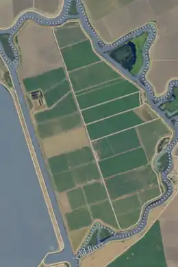
 USGS aerial photo of Coney Island (largest island). | |
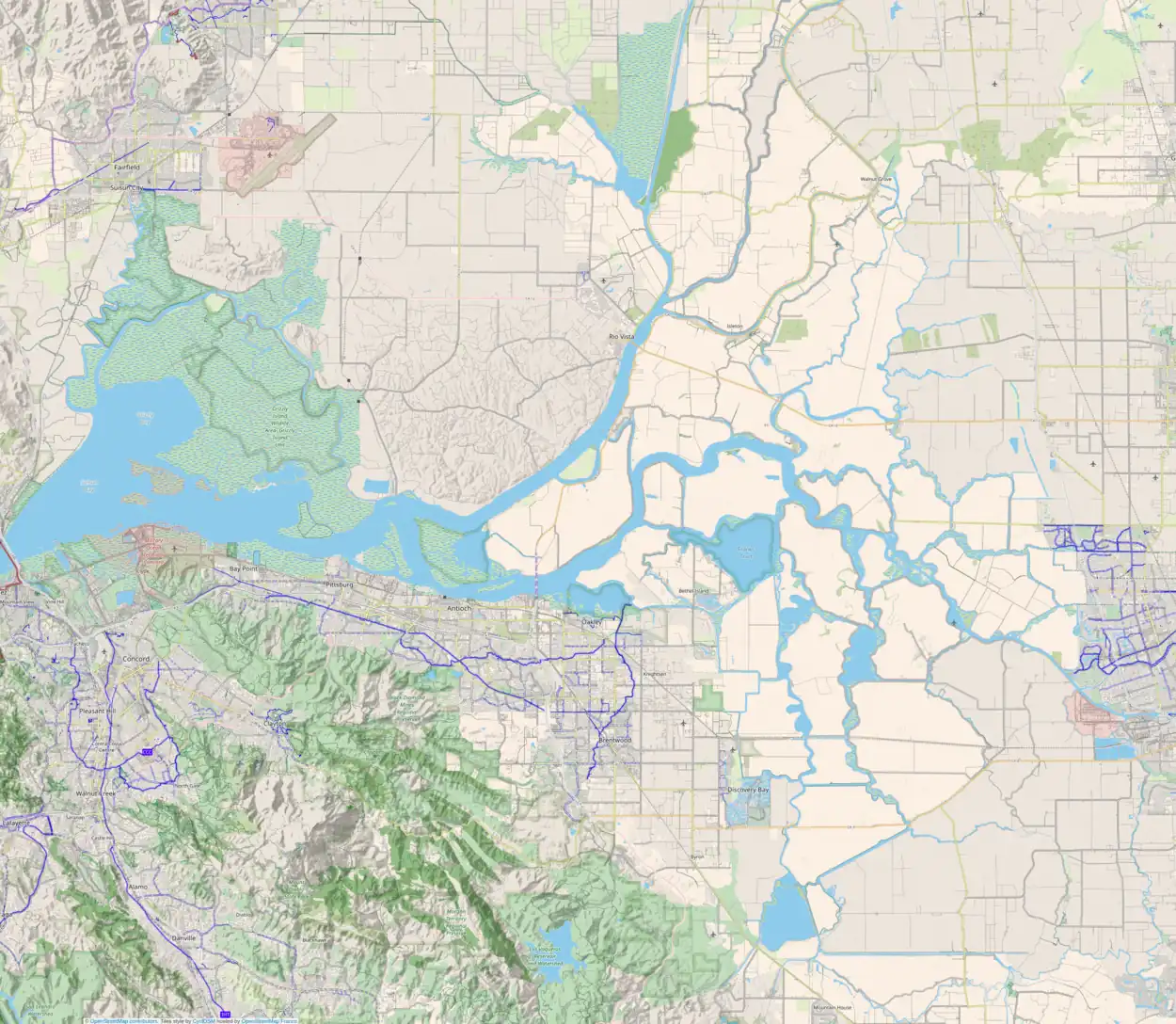
 Coney Island  Coney Island  Coney Island | |
| Geography | |
|---|---|
| Location | Northern California |
| Coordinates | 37.846°N 121.549°W |
| Adjacent to | Sacramento–San Joaquin River Delta |
| Administration | |
| State | |
| County | Contra Costa |
References
- California State Automobile Association (1999). San Francisco Bay Region (Map). 1:190,000. American Automobile Association.
- "PLevee Breaks: Coney Island an Inland Sea". The Evening Mail. Stockton, California. 1906-06-20. p. 8.
- "Review Tomorrow: Water Agency Could Bite Dust". Oakland Tribune. Oakland, California. 1976-10-19. p. 4.
- "Delta Catfish". Oakdale Leader. Oakdale, California. 1983-08-17. p. 15.
- "Countywide Reclamation Services: Municipal Service Review/Sphere of Influence Update (2nd Round) – FINAL" (PDF). Contra Costa Local Agency Formation Commission. 18 November 2015. Archived (PDF) from the original on 1 March 2017. Retrieved 23 February 2021.
- U.S. Geological Survey Geographic Names Information System: Coney Island
- United States Geological Survey (2015). "Clifton Court Forebay Quadrangle, California" (Map). United States Department of the Interior Geological Survey. 1:24000.
This article is issued from Wikipedia. The text is licensed under Creative Commons - Attribution - Sharealike. Additional terms may apply for the media files.
