Montezuma Island
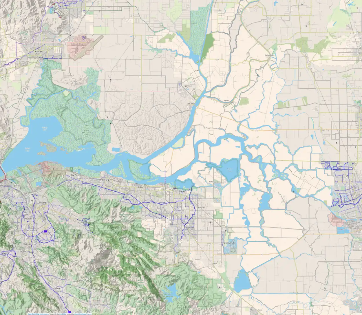
Montezuma Island is an island in Suisun Bay, an embayment of San Francisco Bay, and downstream of the Sacramento–San Joaquin River Delta.[2][3][4][5][6][7][8] It is part of Sacramento County, California, and not managed by any reclamation district.[9] Its coordinates are 38°04′28″N 121°50′23″W[1], and the United States Geological Survey measured its elevation as 7 ft (2.1 m) in 1981.[1] It is labeled "Burnett Island" on an 1850 survey map of the San Francisco Bay area made by Cadwalader Ringgold,[10] and shown (unlabeled) on an 1854 map of the area by Henry Lange.[11]
 USGS aerial imagery of Montezuma Island | |
 Montezuma Island  Montezuma Island  Montezuma Island | |
| Geography | |
|---|---|
| Location | Northern California |
| Coordinates | 38°04′28″N 121°50′23″W[1] |
| Adjacent to | Sacramento–San Joaquin River Delta |
| Highest elevation | 7 ft (2.1 m)[1] |
| Administration | |
United States | |
| State | |
| County | Sacramento |
.jpg.webp)
An aerial photo taken looking north in 2015. Montezuma Island can be seen on the right, east of Chain Island.
References
- U.S. Geological Survey Geographic Names Information System: Montezuma Island
- California State Automobile Association (1999). San Francisco Bay Region (Map). 1:190,000. American Automobile Association.
- "Twin Ships That Are Unlucky". The San Francisco Call. San Francisco, California. 1897-01-03. p. 9.
- "To See Project: Members Of Reclamation Board To Inspect Proposed Way Of "Uncorking" River". The Sacramento Bee. Sacramento, California. 1923-06-19. p. 10.
- "Alamedan Dies In Auto Plunge". Oakland Tribune. Oakland, California. 1927-06-23. p. 1.
- "Packing Official Drives to Death Off Ferry Slip". The Los Angeles Times. Los Angeles, California. 1927-06-24. p. 5.
- "Cathering Scharstein Of Delta Island Is Dead". The Sacramento Bee. Sacramento, California. 1938-09-10. p. 17.
- "Bride Critically Hurt In Gunshot Accident While Helping Husband". The Chico Enterprise. Chico, California. 1947-12-19. p. 2.
- "Sacramento County, California Reclamation Districts" (PDF). Sacramento Local Agency Formation Commission. August 2009. Archived (PDF) from the original on 14 March 2021. Retrieved 24 February 2021.
- Ringgold, Cadwalader; Stuart, Fred D.; Everett, Chas.; Harrison (1850). "General Chart embracing Surveys of the Farallones Entrance to the Bay of San Francisco, Bays of San Francisco and San Pablo, Straits of Carquines and Suisun Bay, and the Sacramento and San Joaquin Rivers, to the Cities of Sacramento and San Joaquin, California". David Rumsey Map Collection. San Francisco Common Council. Archived from the original on 7 July 2017. Retrieved 25 February 2021.
- Lange, Henry (1854). "Bai San Francisco und Vereinigung des Sacramento mit dem San Joaquin". David Rumsey Map Collection. George Westermann. Archived from the original on 10 March 2016. Retrieved 25 February 2021.
Brewer Island
This article is issued from Wikipedia. The text is licensed under Creative Commons - Attribution - Sharealike. Additional terms may apply for the media files.
