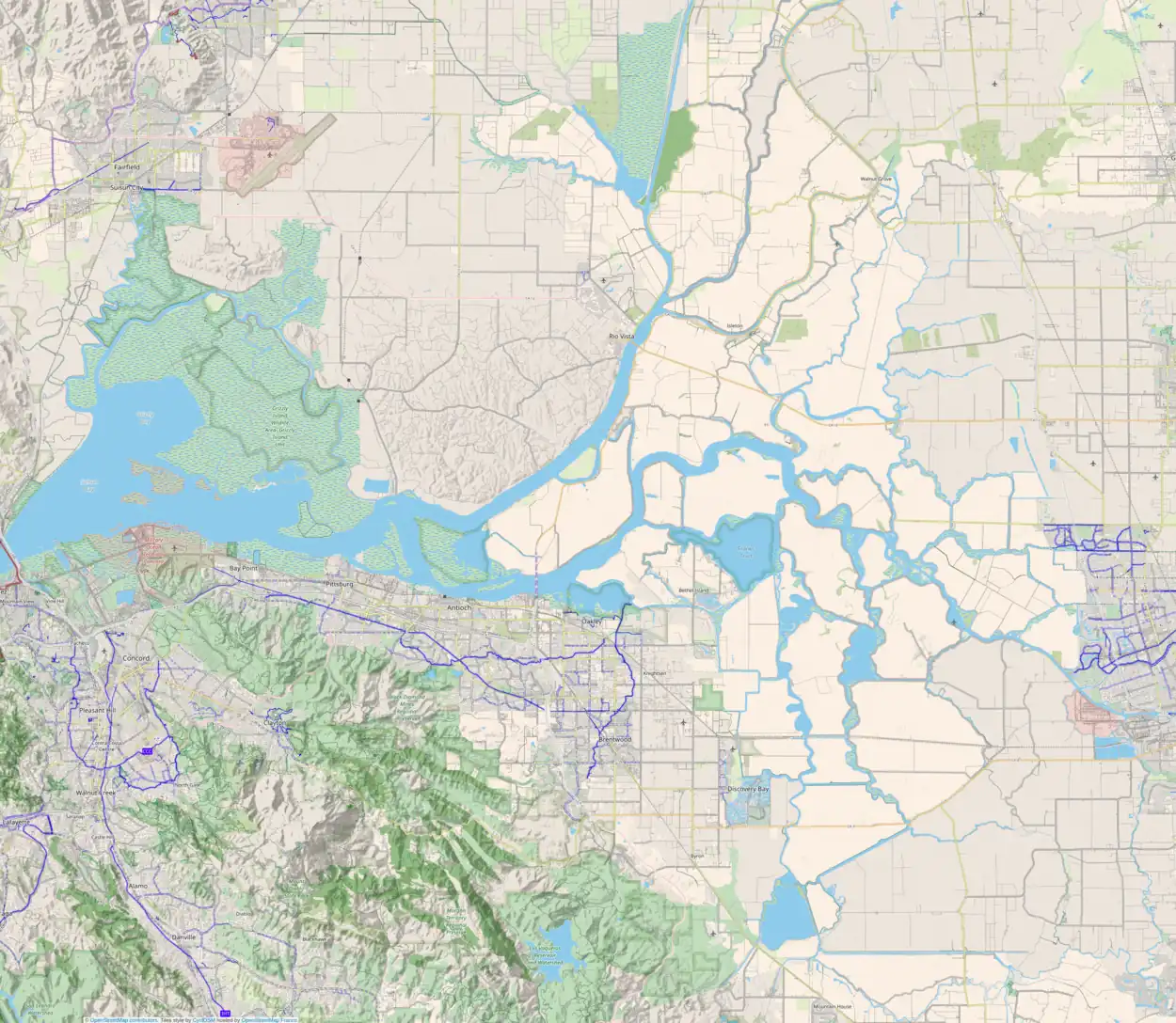
Wright-Elmwood Tract
The Wright-Elmwood Tract (alternately referred to as the Wright Tract[1] or the Elmwood Tract[1]) is an island in the Sacramento–San Joaquin River Delta.[2][3][4][5][6][7][8][9][10][11][12] It is part of San Joaquin County, California, and managed by Reclamation District 2119.[13][14] Its coordinates are 37°59′23″N 121°22′50″W[1], and the United States Geological Survey measured its elevation as 0 ft (0 m) in 1981.[1]
 USGS aerial imagery of the Wright-Elmwood Tract | |
 Wright-Elmwood Tract  Wright-Elmwood Tract  Wright-Elmwood Tract | |
| Geography | |
|---|---|
| Location | Northern California |
| Coordinates | 37°59′23″N 121°22′50″W[1] |
| Adjacent to | Sacramento–San Joaquin River Delta |
| Highest elevation | 0 ft (0 m)[1] |
| Administration | |
United States | |
| State | |
| County | San Joaquin |
References
- U.S. Geological Survey Geographic Names Information System: Elmwood Tract
- "Will Unwater Tracts; Crops This Year". The Evening Mail. Stockton, California. 1911-03-24. p. 9.
- "Giant Pumps To Free Big Valley Submerged". The San Francisco Call. San Francisco, California. 1911-03-25. p. 16.
- "Crops on the Unwatered Tracts". The Evening Mail. Stockton, California. 1911-04-06. p. 6.
- "Roberts Island Land Sold by Local Firm". The Evening Mail. Stockton, California. 1912-10-23. p. 3.
- "$2,000,000 State Levee Repair Job Is Speeded By Army Engineers". Oakland Tribune. Oakland, California. 1951-02-14. p. 15.
- "Emergency Work". The Sacramento Bee. Sacramento, California. 1951-02-14. p. 1.
- "Delta". Oakland Tribune. Oakland, California. 1980-01-27. p. 19.
- "Levee Conditions". Oakland Tribune. Oakland, California. 1980-11-11. p. 12.
- "Rice crop projected to protect levees". The Sacramento Bee. Sacramento, California. 2005-08-17. p. A3.
- "Delta". The Sacramento Bee. Sacramento, California. 2006-01-01. p. 7.
- "State's long-range plan envisions parks in Delta". The Sacramento Bee. Sacramento, California. 2011-09-06. p. B3.
- "Municipal Service Review: Selected San Joaquin County Reclamation Districts" (PDF). San Joaquin Local Agency Formation Commission. E Mulberg & Associates. 18 March 2018. Retrieved 24 February 2021.
- "Reclamation Districts Map" (PDF). San Joaquin County Geographic Information Systems. San Joaquin County. 16 September 2020. Archived (PDF) from the original on 24 November 2020. Retrieved 24 February 2021.
This article is issued from Wikipedia. The text is licensed under Creative Commons - Attribution - Sharealike. Additional terms may apply for the media files.
