Ryer Island (Suisun Bay)
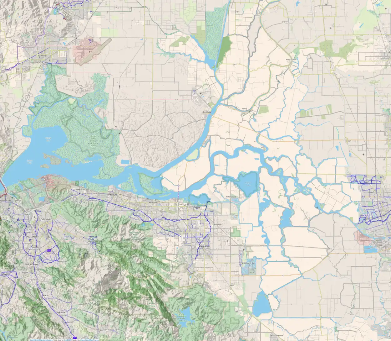
Ryer Island is an island in Suisun Bay[2] at the mouth of the Sacramento-San Joaquin River Delta in Solano County, California, eight miles east-northeast of Benicia.[3][4][5][6] It is administered by Reclamation District 501,[7] and is in the Suisun Resource Conservation District. At the time of statehood it was known as Kings Island,[8] and is labeled as such on an 1850 survey map of the San Francisco Bay area made by Cadwalader Ringgold[9] as well as an 1854 map of the area by Henry Lange.[10] It is labeled, along with Deadman Island, Joice Island, Grizzly Island, Simmons Island, and Roe Island, on a 1902 USGS map of the area.[11]
 Ryer Island is the large, dolphin-shaped island in the center of this aerial photo. Directly above it and to the left is Freeman Island, and above Freeman Island is Snag Island. To its right is Roe Island. | |
 Ryer Island  Ryer Island  Ryer Island  Ryer Island | |
| Geography | |
|---|---|
| Location | Northern California |
| Coordinates | 38°04′58″N 122°05′52″W[1] |
| Adjacent to | Suisun Bay |
| Administration | |
| State | |
| County | Solano |
See also
References
- U.S. Geological Survey Geographic Names Information System: Ryer Island
- U.S. Coast and Geodetic Survey (1927). Special Publications. Special Publications. U.S. Government Printing Office. p. 47. Retrieved July 16, 2020.
- "State Resets Suisun Bay Oil-Gas Bidding Date". The Sacramento Bee. Sacramento, California. 1967-11-08. p. 39.
- "Shell, Standard Probe Solano For Oil Strikes". The Sacramento Bee. Sacramento, California. 1967-08-28. p. 11.
- "Maybe Another Brentwood Oil Field?". Contra Costa Times. Walnut Creek, California. 1967-08-30. p. 1.
- "More Drillers Seek Gas In San Joaquin County". The Sacramento Bee. Sacramento, California. 1967-09-13. p. 37.
- "Municipal Service Review: Solano County Water, Irrigation, Reclamation, and Flood Management Agencies" (PDF). Solano County LAFCO. Michael Brandman Associates. 13 April 2009. Retrieved 23 February 2021.
- David L. Durham, California's Geographic Names: A Gazetteer of Historic and Modern Names of This State. p. 693. Quill Driver Books. (1998) ISBN 1-884995-14-4.
- Ringgold, Cadwalader; Stuart, Fred D.; Everett, Chas.; Harrison (1850). "General Chart embracing Surveys of the Farallones Entrance to the Bay of San Francisco, Bays of San Francisco and San Pablo, Straits of Carquines and Suisun Bay, and the Sacramento and San Joaquin Rivers, to the Cities of Sacramento and San Joaquin, California". David Rumsey Map Collection. San Francisco Common Council. Retrieved 25 February 2021.
- Lange, Henry (1854). "Bai San Francisco und Vereinigung des Sacramento mit dem San Joaquin". David Rumsey Map Collection. George Westermann. Retrieved 25 February 2021.
- Goode, R.U.; Fletcher, L.C. (1902), Topography, State of California: Woodward Island Quadrangle, United States Geological Survey
This article is issued from Wikipedia. The text is licensed under Creative Commons - Attribution - Sharealike. Additional terms may apply for the media files.
