Ehime Prefecture
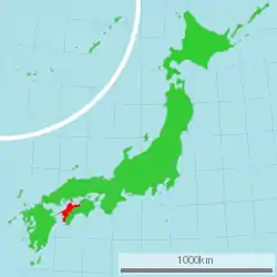
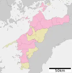
Ehime Prefecture (愛媛県, Ehime-ken) is a prefecture of Japan located on the island of Shikoku.[3] Ehime Prefecture has a population of 1,334,841[4] and has a geographic area of 5,676 km2 (2,191 sq mi). Ehime Prefecture borders Kagawa Prefecture to the northeast, Tokushima Prefecture to the east, and Kōchi Prefecture to the southeast.
Ehime Prefecture
愛媛県 | |
|---|---|
| Japanese transcription(s) | |
| • Japanese | 愛媛県 |
| • Rōmaji | Ehime-ken |
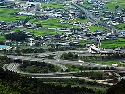 Kawauchi Interchange and a corner of Tōon City, Ehime Prefecture | |
 Flag  Emblem | |
| Anthem: Ehime no uta | |
 | |
| Country | Japan |
| Region | Shikoku |
| Island | Shikoku |
| Capital | Matsuyama |
| Subdivisions | Districts: 7, Municipalities: 20 |
| Government | |
| • Governor | Tokihiro Nakamura (since December 2010) |
| Area | |
| • Total | 5,676.23 km2 (2,191.60 sq mi) |
| • Rank | 26th |
| Population (October 1, 2020) | |
| • Total | 1,334,841 |
| • Rank | 28th |
| • Density | 240/km2 (610/sq mi) |
| ISO 3166 code | JP-38 |
| Website | www |
| Symbols of Japan | |
| Bird | Japanese robin (Erithacus akahige)[1] |
| Fish | Red sea bream (Pagrus major)[1] |
| Flower | Satsuma mandarin (Citrus unshiu)[1] |
| Mammal | Japanese river otter ("Lutra lutra whiteleyi")[1][2] |
| Tree | Pine (Pinus)[1] |
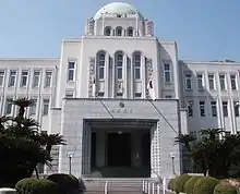
Matsuyama is the capital and largest city of Ehime Prefecture and the largest city on Shikoku, with other major cities including Imabari, Niihama, and Saijō.[5]
Notable past Ehime residents include three Nobel Prize winners: they are Kenzaburo Oe (1994 Nobel Prize in Literature), Shuji Nakamura (2014 Nobel Prize in Physics), and Syukuro Manabe (2021 Nobel Prize in Physics).
History
Until the Meiji Restoration, Ehime Prefecture was known as Iyo Province.[6] Since before the Heian period, the area was dominated by fishermen and sailors who played an important role in defending Japan against pirates and Mongolian invasions.
After the Battle of Sekigahara, the Tokugawa shōgun gave the area to his allies, including Katō Yoshiaki who built Matsuyama Castle, forming the basis for the modern city of Matsuyama.
The name Ehime comes from the kuniumi part of the Kojiki where Iyo Province is mythologically named Ehime, "lovely princess".[7]
In 2012, a research group from the University of Tokyo and Ehime University said they had discovered rare earth deposits in Matsuyama.[8]
Geography
Located in the northwestern part of Shikoku, Ehime faces the Seto Inland Sea to the north and is bordered by Kagawa and Tokushima in the east and Kōchi in the south.
The prefecture includes both high mountains in the inland region and a long coastline, with many islands in the Seto Inland Sea. The westernmost arm of Ehime, the Sadamisaki Peninsula, is the narrowest peninsula in Japan.
As of 31 March 2020, 7 percent of the total land area of the prefecture was designated as Natural Parks, namely the Ashizuri-Uwakai and Setonaikai National Parks; Ishizuchi Quasi-National Park; and Hijikawa, Kinshako, Okudōgo Tamagawa, Sadamisaki Hantō-Uwakai, Saragamine Renpō, Sasayama, and Shikoku Karst Prefectural Natural Parks.[9]
Cities
City Town
_in_2010-9-6_No%252C3.JPG.webp)
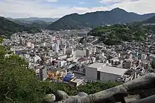
Eleven cities are located in Ehime Prefecture:
| Name | Area (km2) | Population (2020)[10] | Map | |
|---|---|---|---|---|
| Rōmaji | Kanji | |||
| 今治市 | 419.56 | 151,672 | 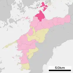 | |
| 伊予市 | 194.44 | 35,133 |  | |
| 松山市 | 429.4 | 511,192 | 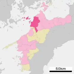 | |
| 新居浜市 | 234.3 | 115,938 | 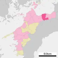 | |
| 大洲市 | 432.24 | 40,575 | 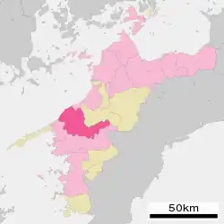 | |
| 西条市 | 509.07 | 104,791 | 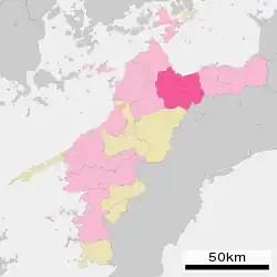 | |
| 西予市 | 514.78 | 35,388 | 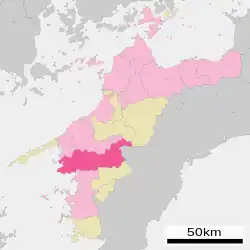 | |
| 四国中央市 | 421.24 | 82,754 | 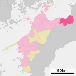 | |
| 東温市 | 211.45 | 33,903 | 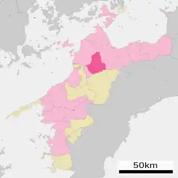 | |
| 宇和島市 | 469.48 | 70,809 | 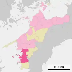 | |
| 八幡浜市 | 133.03 | 31,987 | 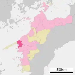 | |
Towns and villages
These are the towns in each district:
| Name | Area (km2) | Population (2020)[11] | District | Map | |
|---|---|---|---|---|---|
| Rōmaji | Kanji | ||||
| 愛南町 | 239.58 | 19,601 | Minamiuwa District | 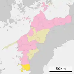 | |
| 伊方町 | 94.37 | 8,397 | Nishiuwa District | 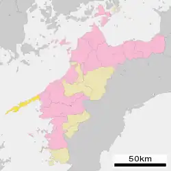 | |
| 上島町 | 30.38 | 6,509 | Ochi District | 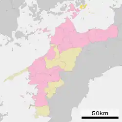 | |
| 鬼北町 | 241.87 | 9,682 | Kitauwa District | 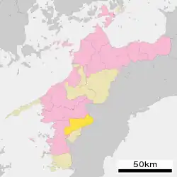 | |
| 久万高原町 | 583.66 | 7,404 | Kamiukena District |  | |
| 松前町 | 20.41 | 29,630 | Iyo District | 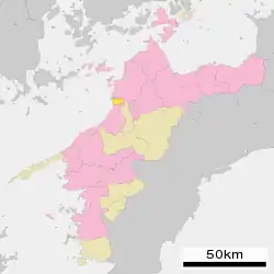 | |
| 松野町 | 98.5 | 3,674 | Kitauwa District | 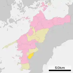 | |
| 砥部町 | 101.57 | 20,480 | Iyo District | 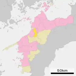 | |
| 内子町 | 299.5 | 15,322 | Kita District | 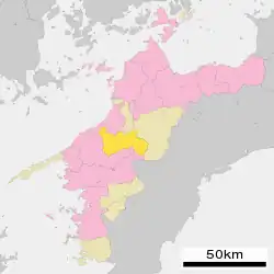 | |
Economy
The coastal areas around Imabari and Saijō host a number of industries, including dockyards of Japan's largest shipbuilder, Imabari Shipbuilding. Chemical industries, oil refining, paper and cotton textile products also are a feature of the prefecture. Rural areas mostly engage in agricultural and fishing industries, and are particularly known for citrus fruits such as mikan (mandarin orange), iyokan and cultured pearls.
Ikata Nuclear Power Plant produces a large portion of Shikoku Electric Power.
Education
Universities and colleges
National
Prefectural
Private
Senior high schools
Prefectural
Sports
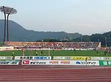
The sports teams listed below are based in Ehime.
Football (soccer)
Baseball
Basketball
Culture
The oldest extant hot spring in Japan, Dōgo Onsen, is located in Matsuyama. It has been used for over two thousand years.
These are television shows and movies set in Ehime Prefecture.
- Tokyo Love Story is a story with characters are from Ehime Prefecture. Therefore, a lot of shooting was done in Ehime. Baishinji Station is famous for being filmed.
- Shodō Girls was made based on the true story of a high school student in Shikokuchūō. A member of the calligraphy club began doing Performance calligraphy at shopping malls and events to liven up the local region. After that, the Shodō Performance Koshien (書道パフォーマンス甲子園) was held in 2008.
- Botchan is a novel written by Natsume Sōseki. It was based on his experience in Matsuyama. Movies, dramas, and manga are published based on the novel. Botchan Ressha and Botchan Stadium are associated with this.
- Saka no Ue no Kumo is written by Ryōtarō Shiba. The main characters are Akiyama Yoshifuru, Akiyama Saneyuki and Masaoka Shiki, all of whom are from Ehime prefecture. It was broadcast on NHK as a TV drama.
- Koi wa Go・Hichi・Go! (恋は五・七・五!) is set in Haiku Koshien, which is actually performed. The shooting was done at a high school, university, and library in Ehime. The haiku of this movie was supervised by Itsuki Natsui, haiku poet from Ehime.
- Destruction Babies (ディストラクション・ベイビーズ) is set in Ehime. This movie was made based on the true story that the director head from a person he met when he visited Matsuyama. The director won an award at the Locarno Festival in 2016, and the film was selected as semi-grand prix at the Three Continents Festival in 2016.
- My-HiME is set in Ehime.
There are major festivals in Ehime Prefecture.
- Uwajima Ushi-oni Festival is held for three days, with a parade of many Ushi-oni walking around the city, a traditional Uwajima dance, a fireworks display, and a run on the final day.
- Niihama Taiko Festival is the autumn festival in Niihama. The drum stand is lifted by about 150 men. It is one of the three biggest fight festivals in Japan.
- The Matsuyama Autumn Festival includes a mikoshi event called Hachiawase (鉢合わせ) which takes place near Dōgo Onsen and Isaniwa Shrine.
Hot Springs
These are Hot Springs in Ehime Prefecture.
- Dōgo Onsen appears in the Nihon Shoki. This Hot Spring has three public baths: the main building, Tsubaki no Yu, and Asuka no Yu.
- Sora to Mori is a combined warm bath facility. There are hot springs, restaurants, and body care.
- Nibukawa Onsen is a hot spring located in Imabari. The source originates from the crevices of the Inugawa Valley in this hot spring town.
Language
Iyo dialect is a Japanese dialect spoken in Ehime Prefecture. Nanyo is influenced by the Kyushu dialect, and Chuyo and Toyo are influenced by the Kinki dialect.
Transport
Railway
- Shikoku Railway (JR Shikoku)
- Iyo Railway (Iyotetsu)
- Gunchū Line
- Takahama Line
- Yokogawara Line
- Matsuyama Inner Line
Road
Expressway
- Matsuyama Expressway
- Tokushima Expressway
- Takamatsu Expressway
- Kochi Expressway
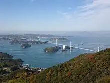
- Nishiseto Expressway (also referred to as the Shimanami Kaidō)
- Imabari Komatsu Road
National highways
- Route 11
- Route 33 (Matsuyama-Kōchi)
- Route 56 (Matsuyama-Iyo-Uwajima-Sukumo-Susaki-Kōchi)
- Route 192 (Saijyo-Shikoku Chuo-Yoshinogawa-Tokushima)
- Route 194
- Route 196
- Route 197
- Route 317 (Matsuyama-Imabari-Onomichi)
- Route 319
- Route 320
- Route 378
- Route 380
- Route 437
- Route 440
- Route 441
- Route 494 (Matsuyama-Niyodogawa-Susaki)
Ports
- Kawanoe Port
- Niihama Port - Ferry route to Osaka
- Toyo Port - Ferry route to Osaka
- Imabari Port - Ferry route to Innoshima, Hakata Island, and international container hub port
- Matsuyama Port - Ferry route to Kitakyushu, Yanai, Hiroshima, Kure, and international container hub port
- Yawatahama Port - Ferry route to Beppu, Usuki
- Misaki Port - Ferry route to Oita
- Uwajima Port
Airport
Notable people
- Naoki Kuwata (born 1977), actor and model
International sister cities / Economic exchange counterparts
Ehime Prefecture is making use of its long tradition of involvement with people overseas through international exchanges in areas such as the economy, culture, sports and education.[12]
Notes
- 愛媛県の紹介 > 愛媛県のシンボル. Ehime prefectural website (in Japanese). Ehime Prefecture. Archived from the original on 9 January 2008. Retrieved 9 September 2011.
- "Japanese River Otter Facts".
- Nussbaum, Louis-Frédéric. (2005). "Ehime" in Japan Encyclopedia, p. 170, p. 170, at Google Books.
- "Ehime Population".
- Nussbaum, "Matsuyama" at p. 621, p. 621, at Google Books.
- Nussbaum, "Provinces and prefectures" at p. 780, p. 780, at Google Books.
- Chamberlain, Basil Hall. 1882. A translation of the "Ko-ji-ki" or Records of ancient matters. section V
- "Japan Discovers Domestic Rare Earths Reserve". BrightWire. Archived from the original on 2012-07-23. Retrieved 2012-05-10.
- 自然公園都道府県別面積総括 [General overview of area figures for Natural Parks by prefecture] (PDF) (in Japanese). Ministry of the Environment. 31 March 2020. Retrieved 23 September 2020.
- "Ehime Population".
- "Ehime Population".
- "International exchange activated with globalization". Ehime Prefecture. Retrieved 2018-10-27.
References
- Nussbaum, Louis-Frédéric and Käthe Roth. (2005). Japan encyclopedia. Cambridge: Harvard University Press. ISBN 978-0-674-01753-5; OCLC 58053128
