Enchastrayes
Enchastrayes (French pronunciation: [ɑ̃ʃastʁaj]; Occitan: Enchastraia) is a commune in the Alpes-de-Haute-Provence department in southeastern France.
Enchastrayes | |
|---|---|
 The summit of the Chapeau de Gendarme (Gendarme Hat) south-west of Enchastrayes | |
Location of Enchastrayes | |
 Enchastrayes 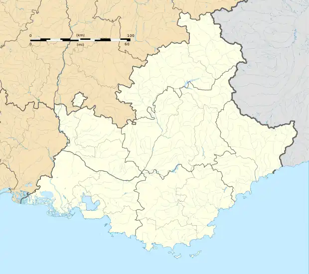 Enchastrayes | |
| Coordinates: 44°22′06″N 6°41′45″E | |
| Country | France |
| Region | Provence-Alpes-Côte d'Azur |
| Department | Alpes-de-Haute-Provence |
| Arrondissement | Barcelonnette |
| Canton | Barcelonnette |
| Government | |
| • Mayor (2020–2026) | Albert Olivero[1] |
| Area 1 | 44.19 km2 (17.06 sq mi) |
| Population | 385 |
| • Density | 8.7/km2 (23/sq mi) |
| Time zone | UTC+01:00 (CET) |
| • Summer (DST) | UTC+02:00 (CEST) |
| INSEE/Postal code | 04073 /04400 |
| Elevation | 1,151–2,775 m (3,776–9,104 ft) (avg. 1,450 m or 4,760 ft) |
| 1 French Land Register data, which excludes lakes, ponds, glaciers > 1 km2 (0.386 sq mi or 247 acres) and river estuaries. | |
The Enciastraia mountain is located in the communal territory, on the boundary with Piedmont, part of northern Italy.
Population
|
|
References
- "Répertoire national des élus: les maires". data.gouv.fr, Plateforme ouverte des données publiques françaises (in French). 2 December 2020.
- "Populations légales 2020". The National Institute of Statistics and Economic Studies. 29 December 2022.
Wikimedia Commons has media related to Enchastrayes.
This article is issued from Wikipedia. The text is licensed under Creative Commons - Attribution - Sharealike. Additional terms may apply for the media files.