Peyruis
Peyruis (French pronunciation: [peʁɥi]; Occitan: Peirueis) is a commune in the Alpes-de-Haute-Provence department in the Provence-Alpes-Côte d'Azur region in southeastern France.
Peyruis | |
|---|---|
 The village of Peyruis, seen from the castle | |
 Coat of arms | |
Location of Peyruis | |
 Peyruis 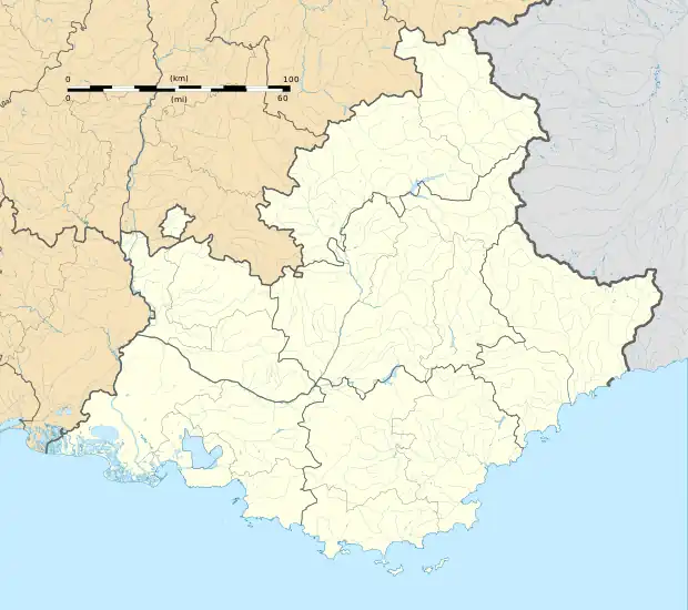 Peyruis | |
| Coordinates: 44°01′48″N 5°56′28″E | |
| Country | France |
| Region | Provence-Alpes-Côte d'Azur |
| Department | Alpes-de-Haute-Provence |
| Arrondissement | Digne-les-Bains |
| Canton | Château-Arnoux-Saint-Auban |
| Intercommunality | CA Provence-Alpes |
| Government | |
| • Mayor (2020–2026) | Patrick Vivos[1] |
| Area 1 | 23.23 km2 (8.97 sq mi) |
| Population | 2,801 |
| • Density | 120/km2 (310/sq mi) |
| Time zone | UTC+01:00 (CET) |
| • Summer (DST) | UTC+02:00 (CEST) |
| INSEE/Postal code | 04149 /04310 |
| Elevation | 381–740 m (1,250–2,428 ft) (avg. 403 m or 1,322 ft) |
| 1 French Land Register data, which excludes lakes, ponds, glaciers > 1 km2 (0.386 sq mi or 247 acres) and river estuaries. | |
Population
Its inhabitants are referred to as Peyruisiens.
| Year | Pop. | ±% p.a. |
|---|---|---|
| 1968 | 1,610 | — |
| 1975 | 1,627 | +0.15% |
| 1982 | 1,699 | +0.62% |
| 1990 | 2,036 | +2.29% |
| 1999 | 2,217 | +0.95% |
| 2007 | 2,468 | +1.35% |
| 2012 | 2,767 | +2.31% |
| 2017 | 2,858 | +0.65% |
| Source: INSEE[3] | ||
References
- "Répertoire national des élus: les maires". data.gouv.fr, Plateforme ouverte des données publiques françaises (in French). 2 December 2020.
- "Populations légales 2020". The National Institute of Statistics and Economic Studies. 29 December 2022.
- Population en historique depuis 1968, INSEE
Wikimedia Commons has media related to Peyruis.
This article is issued from Wikipedia. The text is licensed under Creative Commons - Attribution - Sharealike. Additional terms may apply for the media files.