Le Chaffaut-Saint-Jurson
Le Chaffaut-St-Jurson (French pronunciation: [lə ʃafo sɛ̃ ʒyʁsɔ̃]; Occitan: Lo Chafauc e Sant Jurson) is a commune in the Alpes-de-Haute-Provence department in southeastern France.
Le Chaffaut-Saint-Jurson | |
|---|---|
 A barn in the village of Le Chaffaut-Saint-Jurson | |
 Coat of arms | |
Location of Le Chaffaut-Saint-Jurson | |
 Le Chaffaut-Saint-Jurson 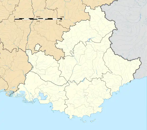 Le Chaffaut-Saint-Jurson | |
| Coordinates: 44°02′20″N 6°09′03″E | |
| Country | France |
| Region | Provence-Alpes-Côte d'Azur |
| Department | Alpes-de-Haute-Provence |
| Arrondissement | Digne-les-Bains |
| Canton | Riez |
| Intercommunality | CA Provence-Alpes |
| Government | |
| • Mayor (2020–2026) | Claude Estienne[1] |
| Area 1 | 36.2 km2 (14.0 sq mi) |
| Population | 688 |
| • Density | 19/km2 (49/sq mi) |
| Time zone | UTC+01:00 (CET) |
| • Summer (DST) | UTC+02:00 (CEST) |
| INSEE/Postal code | 04046 /04510 |
| Elevation | 470–960 m (1,540–3,150 ft) (avg. 584 m or 1,916 ft) |
| 1 French Land Register data, which excludes lakes, ponds, glaciers > 1 km2 (0.386 sq mi or 247 acres) and river estuaries. | |
Geography
The village is located at an altitude of 584 meters, in the valley of the Bléone.
The differents commune adjacent to Le Chauffaut-Saint-Jurson are Aiglun, Digne-les-Bains, Châteauredon, Mézel, Saint-Jeannet, Malijai, Mirabeau, Mallemoisson.
Toponymy
The locality of Chaffaut appeared for the first time in the textes between 1064 and 1079 (in Kadalfucho ). The term comes from the north-occitan translating cadalfac, naming a house with an outside staircase and a balcony according to Ernest Nègre, from catafalicum, meaning scaffold or siege tower according to Bénédicte and Jean-Jacques Fénié.
Saint-Jurson is a deformation of the name of the holy patron saint of the church, saint Georges, apostle of the Velay.
Population
|
|
References
- "Répertoire national des élus: les maires". data.gouv.fr, Plateforme ouverte des données publiques françaises (in French). 2 December 2020.
- "Populations légales 2020". The National Institute of Statistics and Economic Studies. 29 December 2022.