Uvernet-Fours
Uvernet-Fours (Occitan: Uvernet e Forns) is a commune in the Alpes-de-Haute-Provence department, southeastern France.
Uvernet-Fours | |
|---|---|
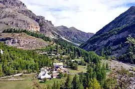 The hamlet of Bayasse in the La Moutière valley | |
 Coat of arms | |
Location of Uvernet-Fours | |
 Uvernet-Fours 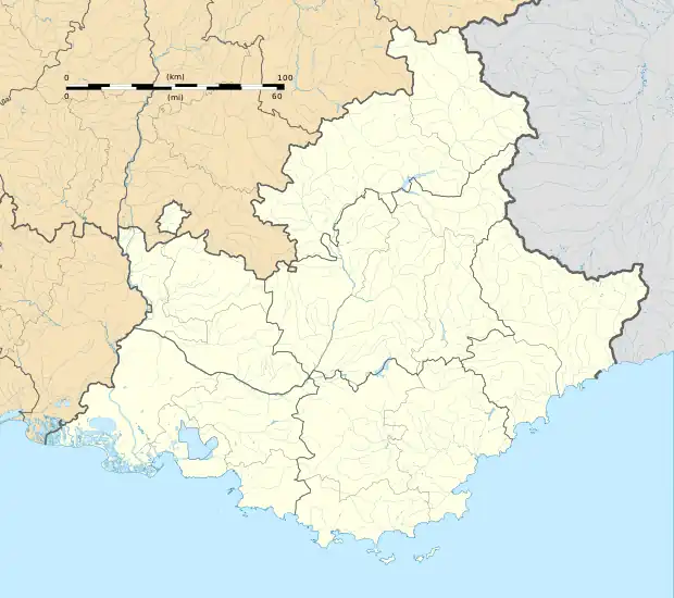 Uvernet-Fours | |
| Coordinates: 44°21′43″N 6°37′37″E | |
| Country | France |
| Region | Provence-Alpes-Côte d'Azur |
| Department | Alpes-de-Haute-Provence |
| Arrondissement | Barcelonnette |
| Canton | Barcelonnette |
| Intercommunality | Vallée de l'Ubaye - Serre-Ponçon |
| Government | |
| • Mayor (2020–2026) | Patrick Bouvet[1] |
| Area 1 | 135.44 km2 (52.29 sq mi) |
| Population | 562 |
| • Density | 4.1/km2 (11/sq mi) |
| Time zone | UTC+01:00 (CET) |
| • Summer (DST) | UTC+02:00 (CEST) |
| INSEE/Postal code | 04226 /04400 |
| Elevation | 1,093–3,040 m (3,586–9,974 ft) (avg. 1,180 m or 3,870 ft) |
| 1 French Land Register data, which excludes lakes, ponds, glaciers > 1 km2 (0.386 sq mi or 247 acres) and river estuaries. | |
Population
|
|
References
- "Répertoire national des élus: les maires". data.gouv.fr, Plateforme ouverte des données publiques françaises (in French). 2 December 2020.
- "Populations légales 2020". The National Institute of Statistics and Economic Studies. 29 December 2022.
Wikimedia Commons has media related to Uvernet-Fours.
This article is issued from Wikipedia. The text is licensed under Creative Commons - Attribution - Sharealike. Additional terms may apply for the media files.