Helena Island
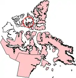
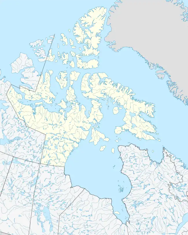
Helena Island is one of the uninhabited members of the Queen Elizabeth Islands of the Canadian Arctic islands in the Qikiqtaaluk Region of Nunavut, Canada. It is along the northern coast of Bathurst Island, separated by Sir William Parker Strait. Seymour Island is located off its west coast. Located at 76°39'N 101°04'W, Helena Island is 327 km2 (126 sq mi) in area and measures 41 by 12.8 km (25.5 by 8.0 mi).
 Helena Island, Nunavut | |
 Helena Island  Helena Island | |
| Geography | |
|---|---|
| Location | Northern Canada |
| Coordinates | 76°40′N 101°00′W |
| Archipelago | Queen Elizabeth Islands Arctic Archipelago |
| Area | 327 km2 (126 sq mi) |
| Length | 41 km (25.5 mi) |
| Width | 13 km (8.1 mi) |
| Administration | |
Canada | |
| Territory | Nunavut |
| Region | Qikiqtaaluk |
| Demographics | |
| Population | Uninhabited |
Its major landmarks are Devereaux Point in the north, Noel Point in the west, and Cape Robert Smart in the south.[1]
References
- "NU Site 4 – Seymour Island". pwgsc.gc.ca. p. 45. Retrieved 25 August 2010.
This article is issued from Wikipedia. The text is licensed under Creative Commons - Attribution - Sharealike. Additional terms may apply for the media files.