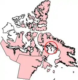
Rowley Island
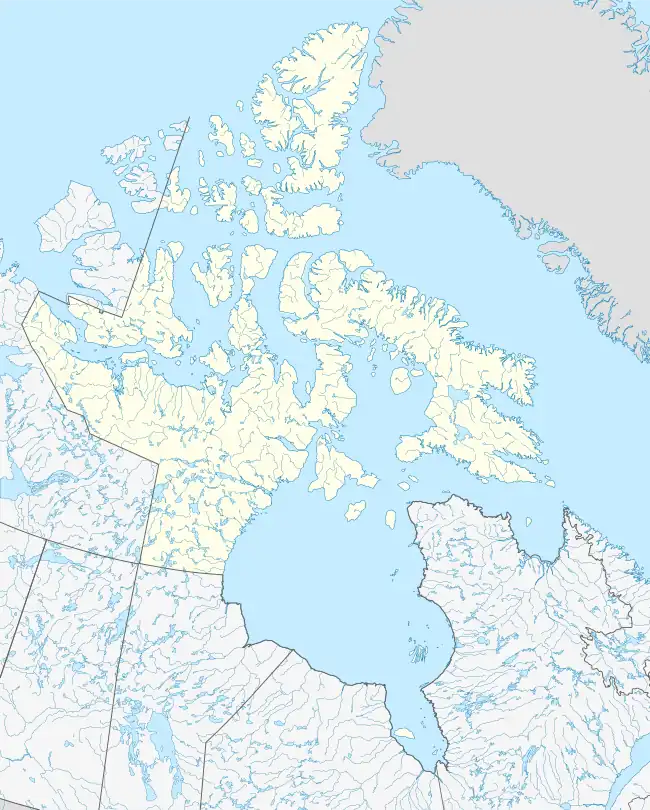
Rowley Island is one of the Canadian Arctic islands in the Qikiqtaaluk Region, Nunavut. It is located in Foxe Basin and has an area of 1,090 km2 (420 sq mi).
 Rowley Island, Nunavut. | |
 Rowley Island 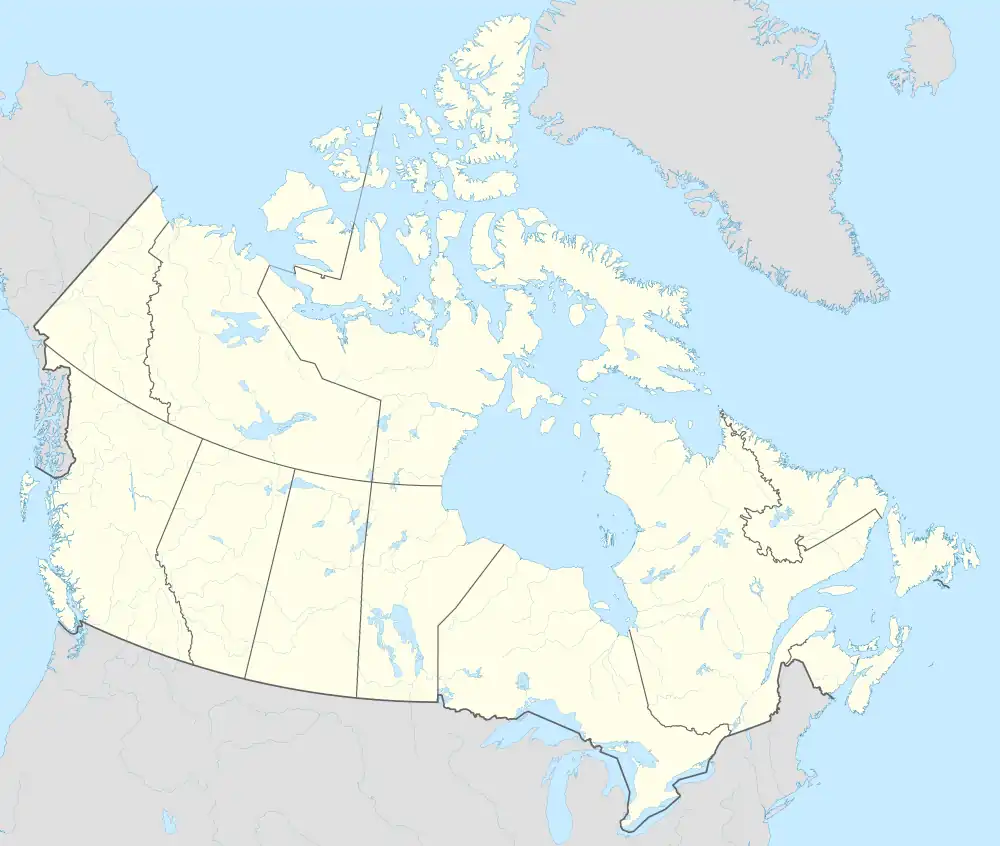 Rowley Island | |
| Geography | |
|---|---|
| Location | Foxe Basin |
| Coordinates | 69°09′N 78°52′W[1] |
| Archipelago | Arctic Archipelago |
| Area | 1,090 km2 (420 sq mi) |
| Administration | |
Canada | |
| Territory | Nunavut |
| Region | Qikiqtaaluk |
| Demographics | |
| Population | 62[3] (2016) |
Although the island is uninhabited there is both an unmanned Distant Early Warning Line base, called FOX-1 at 69°04′01″N 079°03′54″W, and an Automated Surface Observing System.
It is named after the arctic explorer Graham Westbrook Rowley.
References
- "Rowley Island". Geographical Names Data Base. Natural Resources Canada.
- "Rowley Island". Geographical Names Data Base. Natural Resources Canada.
- Population for Dissemination block 62040059002, 2016 Canada Census
This article is issued from Wikipedia. The text is licensed under Creative Commons - Attribution - Sharealike. Additional terms may apply for the media files.