Norman Lockyer Island
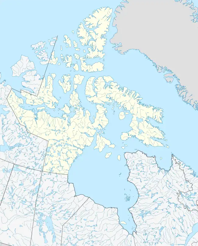
Norman Lockyer Island is located off the eastern coast of Ellesmere Island, and a part of the Qikiqtaaluk Region of the Canadian territory of Nunavut. Situated in Princess Marie Bay just in front of Franklin Pierce Bay, 9 km (5.6 mi) WSW of Cape Prescott, north of Bache Peninsula, Norman Lockyer Island is within the Arctic Archipelago, a member of the Queen Elizabeth Islands.[1][2]
 Norman Lockyer Island  Norman Lockyer Island | |
| Geography | |
|---|---|
| Location | Northern Canada |
| Coordinates | 79°24′N 074°39′W |
| Archipelago | Queen Elizabeth Islands Arctic Archipelago |
| Administration | |
Canada | |
| Territory | Nunavut |
| Region | Qikiqtaaluk Region |
| Demographics | |
| Population | Uninhabited |
History
It is named in honor of the English scientist and astronomer Joseph Norman Lockyer.
In 1882, Norman Lockyer Island was the most northerly point reached by the relief vessel, the Neptune, trying to reach Adolphus Greely's Lady Franklin Expedition.[3]
References
- "Norman Lockyer Island". nrcan.gc.ca. Retrieved 2008-04-21.
- Schledermann, Peter (December 1978). "Preliminary results of archaeological investigations in the Bache Peninsula region, Ellesmere Island, N.W.T." (PDF). Arctic. 30 (4): 459–474. Retrieved 2008-04-21.
- Melville, George W. (1994). In the Lena Delta; a narrative of the search for Lieut.-Commander De Long and his companions, followed by an account of the Greely relief expedition and a proposed method of reaching the North pole. Boston: Houghton, Mifflin and Co. p. 415. ISBN 978-1-58218-378-7. OCLC 486497.
This article is issued from Wikipedia. The text is licensed under Creative Commons - Attribution - Sharealike. Additional terms may apply for the media files.