Opingivik Island
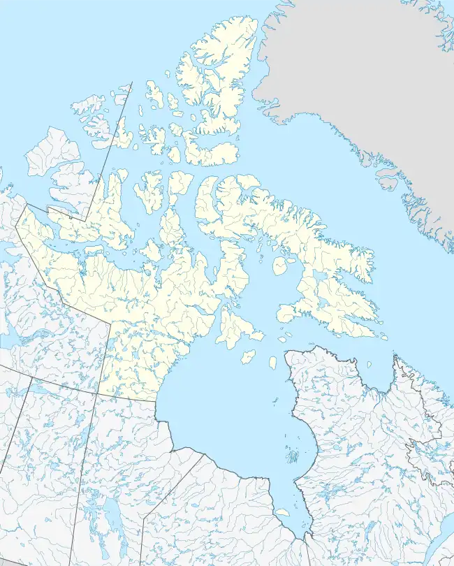
Opingivik Island is an uninhabited Baffin Island offshore island located in the Arctic Archipelago in Nunavut's Qikiqtaaluk Region. It lies in Cumberland Sound between Ikpit Bay to the north and Robert Peel Inlet approximately 18.6 km (11.6 mi) to the south.[3][4]
 Opingivik Island  Opingivik Island | |
| Geography | |
|---|---|
| Location | Cumberland Sound |
| Coordinates | 65°18′N 067°04′W[1] |
| Archipelago | Arctic Archipelago |
| Administration | |
Canada | |
| Nunavut | Nunavut |
| Region | Qikiqtaaluk |
| Largest settlement | Opingivik (ghost town) |
| Demographics | |
| Population | Uninhabited |
| Ethnic groups | Inuit |
The former community of Opingivik lies on the southeast coast at 65°16′N 067°03′W[5].[6]
A second, smaller Opingivik Island lies in Diana Bay, just south of Diana Island.
References
- "Opingivik Island". Geographical Names Data Base. Natural Resources Canada.
- "Opingivik Island". Geographical Names Data Base. Natural Resources Canada.
- "Opingivik Island, Nunavut, Canada". travelingluck.com. Retrieved 2008-09-18.
- "Opingivik Island". geonames.org. Retrieved 2008-09-18.
- "Opingivik". Geographical Names Data Base. Natural Resources Canada.
- "Opingivik". Geographical Names Data Base. Natural Resources Canada.
This article is issued from Wikipedia. The text is licensed under Creative Commons - Attribution - Sharealike. Additional terms may apply for the media files.