X
wikiHow is a “wiki,” similar to Wikipedia, which means that many of our articles are co-written by multiple authors. To create this article, 9 people, some anonymous, worked to edit and improve it over time.
This article has been viewed 33,288 times.
Learn more...
The numbering system of Interstates in the United States tend to bug people. Most people don't understand it, but only look to using maps to try to decipher their routes only when they need to use them. If you feel like knowing just a bit more about this naming system so that you won't feel so lost later on, this article can help.
Steps
-
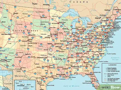
1Look at a map closely. National Road Maps can sometimes be of help, in that some will even explain this system to you. After looking at them closely, it may stun you when you see the resemblance in the numbers.
-
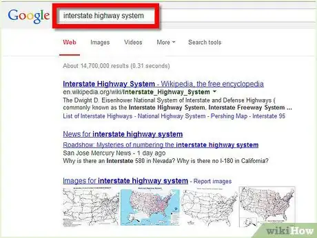
2Look on the Internet for information. Sites like Wikipedia will try to explain the nomenclature.
- Even numbers are assigned to East-West highways, while odd numbers are assigned to north-south.
- Long distance routes(such as from the Atlantic Ocean and points nearby to the Pacific Ocean or vice -versa OR between borders) can be presumed when the interstates number is evenly divisible by five.
- Major interstates that run north-south will tend to increase from starting and I-5 (Seattle, WA to San Diego, CA) and run to I-95 (Kittery, ME to Miami, FL) (from Interstate 5 along Western Seaboard and working eastward to Interstate 95 along Eastern seaboard).
- Major interstates that run east-west will tend to increase (starting at I-10(San Diego, CA to Tallahassee, FL) running near the California/Texas and Mexico border to I-90 (Seattle, WA to Boston, MA) near the Canadian border.
- There are two exceptions: There are no I-50 and I-60.
- Other numbered highways with two numbers will tend to run between a few states, but their numberings will not tend to have any pattern.
- Auxiliary spur routes that deviate from the parent route but will return later will be given a 3'rd number at the beginning. This third number will tend to be even. If the route ends up terminating at some unknown location that doesn't connect to another interstate or it's own will be given an odd number.
- The shortest auxiliary Interstate, I-587 in Kingston, NY [1] only runs about 1.2 miles (1.9 km), and is meant to bring people from the major shopping areas of Kingston's Ulster Ave/Albany Ave (US Route 9W strip) to I-87.
- Alaskan route numbers carry no resemblance to the numbering system used elsewhere in the US, as they were numbered in order of the funding they receive.
Advertisement -
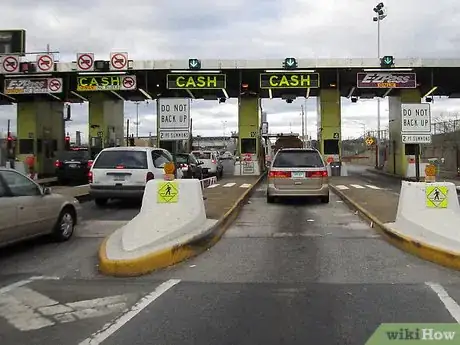
3Travel several of these Interstate highways. As you enter and exit a highway, ask where the highway ends. Some tollbooth collectors yearn to tell you where their interstate ends. Make sure you include the word "continental" in your question (such as the "continental terminus"), otherwise they'll just think you're wondering where in the state the highway ends.
Advertisement
Warnings
- The island of Oahu in Hawaii even has it's own Interstate system which are numbered, but they have no resemblance to the continental US numbering. They have been numbered to move people from naval and military bases. (So don't be fooled!)⧼thumbs_response⧽
- GPS systems won't explain this system to you. They'll only tell you which roads to take when and where.⧼thumbs_response⧽
Advertisement
References
About This Article
Advertisement
