X
wikiHow is a “wiki,” similar to Wikipedia, which means that many of our articles are co-written by multiple authors. To create this article, volunteer authors worked to edit and improve it over time.
The wikiHow Tech Team also followed the article's instructions and verified that they work.
This article has been viewed 122,554 times.
Learn more...
Have you ever seen one of the Google Street View cars driving around your neighborhood? They have a large, ball-shaped camera attached to the roof, which allows them to take a continuous stream of 360° pictures. These pictures can then be accessed using Google Maps from your computer or mobile device.
Steps
Method 1
Method 1 of 2:
Using a Computer
-
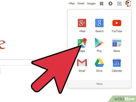
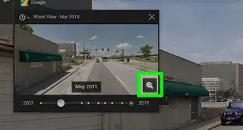
1Open Google Maps. Street View is a function of Google Maps. Google cars equipped with specialized camera equipment drive the road networks of a variety of countries, taking 360° photos to aid in navigation and exploration. Google Maps allows you to see everywhere that Street View is available.
- You can also access Street View through Google Earth.
-
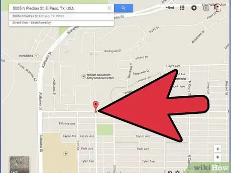
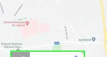
2Find a location you want to see. You can search for a location or use your mouse to navigate around the map. Searching for something will often place a pin on the map at that location.Advertisement
-
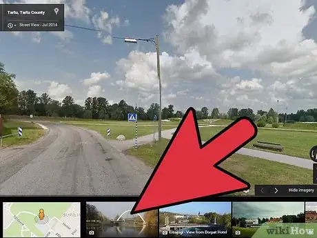
3Activate Street View. Once you've found the location you want to look at, you can turn on Street View. Depending on how you found the location and what version of Maps you are using, there are several different ways to start Street View.
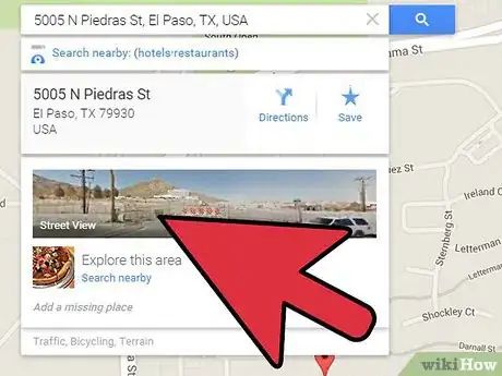
- Street View for a search result. If you've searched for an address or location and a pin has been placed on the map, you can access the Street View for that location by clicking on the photo in the information box that appears when the pin is selected.
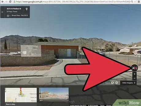
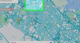
- Drag and drop the Pegman. Click and hold the Pegman icon to "Grab" it. The roads will highlight to show where Street View is available. Roads with Street View will have a blue line running down the middle. Buildings that you can see inside have a yellow circle. Scenic spots will have a blue circle. If you are using the new Google maps preview, clicking the Pegman will toggle the Street View layer on the map.
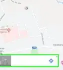
- Use the Explore bar. If you are using the new Maps preview, you can click the arrow icon in the lower-right corner to open the Explore bar. This will display notable locations and sights near your current location on the map. Clicking these photos will take you directly to the Street View for that spot.
- Zoom all the way in. Zooming in past the closest level in Maps will automatically load Street View for that location if it is available.
-
4Look around. While in Street View, you can look around by clicking and dragging your mouse. Looking is usually by opposite mouse directions; for example, to look left you would click, hold, and move your mouse to the right.
- You can use the buttons around the compass to look around as well. This is located in the upper-left corner of the original Maps and the lower-right corner of the new Maps preview.
-
5Move around. The true beauty of Street View lies in your ability to completely navigate while using it. Click anywhere on the image and Street View will attempt to move you to the closest spot. Use this to explore neighborhoods, take a virtual vacation, or look for landmarks for when you visit in person.
- Streets will have arrows when you look at them. Clicking these arrows will move you a small distance on that street in that direction.[1]
Advertisement
Method 2
Method 2 of 2:
Using a Mobile Device
-
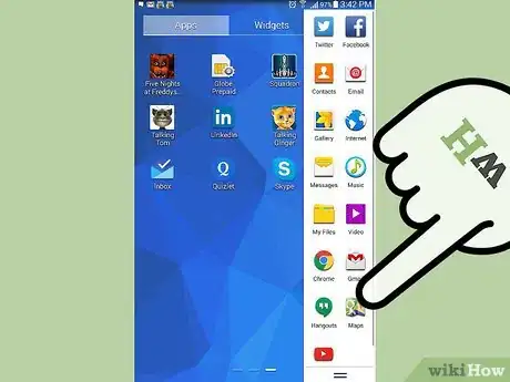
1Open your Google Maps app. If you're on the go, Street View can be a great tool to help you find what you're looking for. Use it to take a peek at your destination before you go so you know what to keep your eyes open for, or look for a business in a foreign location.
- You can use Street View on any version of Google Maps, on any mobile device as long as you have a data connection.
-
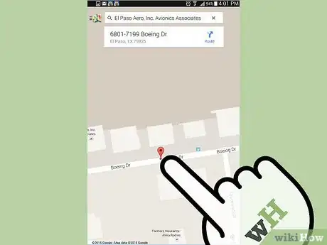
2Place a marker. In order to access Street View, you will need to have a marker on the map. You can place a marker by searching for a location, tapping a business marker on the map, or by pressing and holding any spot on the map with your finger.
-
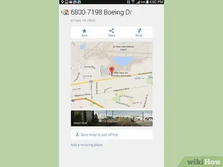
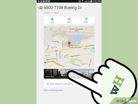
3Swipe up. When a marker is placed, the address will be displayed in a bar at the bottom of the map, along with a Navigation button. Swipe up on the bar with your finger to open the Save/Share screen. If Street View is available at that location, a photo will appear.
- If you don't pick a location on the road, you may not be able to load the Street View. Try placing the marker closer to a nearby road.
-
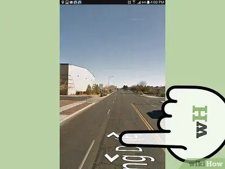
4Open Street View. Tap the photo to load Street View mode. The view will change to show the 360° photo. This will require a data connection to download the imagery.
-
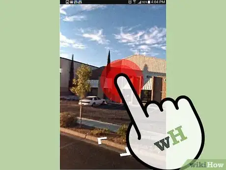
5Look around. You can look around Street View by moving your finger around the screen. The camera will move in the opposite direction of your finger; for example, if you swipe down, the camera will point up. You can zoom in and out by pinching your fingers on the screen.
- Tap the look-around icon to point your phone and look around the image. This can be very useful if you are near your location and want to get your bearings. The icon is located in the lower-left corner and looks like two arrows points at each other.
-
6Move around. You can move to any location on the image by double-tapping. Street View will attempt to load the closest-possible location. You can also move back and forth on roads by tapping the arrows that appear on them. This is useful for simulating a drive, as turn arrows will appear at intersections.[2]
Advertisement
Community Q&A
-
QuestionI can "cruise" around in Street View until I see the place I'm looking for, but how do I determine that place's street address?
 Seth FriesenCommunity AnswerThe approximate street number is displayed on the top left corner of your screen. This number should not be used for mailing, as the number is not exact, and is rarely correct.
 -
QuestionHow do I print a photo?
 Community AnswerTo print, you need to go to street view. Then, right click, select "More Options," and click "Print."
 -
QuestionAfter I'm done with street view, how do I get back to the map?
 Community AnswerYou click on the same little person figure you clicked on to get into street view. It'll deselect and you'll zoom back out.
Advertisement
References
About This Article
Advertisement
