Ambler Airport
Ambler Airport (IATA: ABL, ICAO: PAFM, FAA LID: AFM) (Iñupiaq: Ivisaappaat Mirviat) is a state-owned public-use airport located one nautical mile (1.85 km) north of the central business district of Ambler,[1] a city in the Northwest Arctic Borough of the U.S. state of Alaska.
Ambler Airport | |||||||||||||||
|---|---|---|---|---|---|---|---|---|---|---|---|---|---|---|---|
 | |||||||||||||||
| Summary | |||||||||||||||
| Airport type | Public | ||||||||||||||
| Owner | Alaska DOT&PF - Northern Region | ||||||||||||||
| Serves | Ambler, Alaska | ||||||||||||||
| Elevation AMSL | 334 ft / 102 m | ||||||||||||||
| Coordinates | 67°06′23.9″N 157°51′25.6″W | ||||||||||||||
| Map | |||||||||||||||
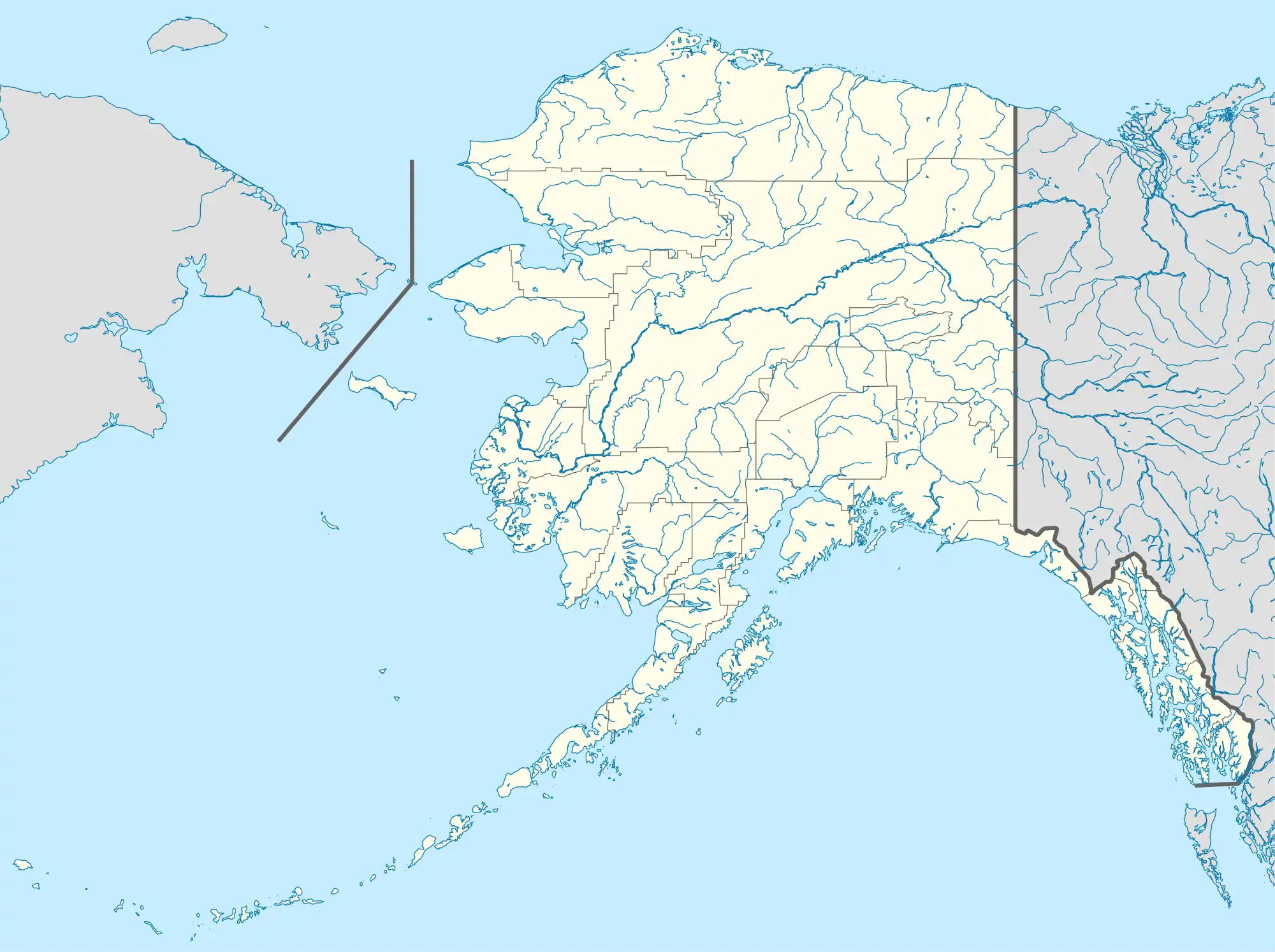
 ABL Location of airport in Alaska | |||||||||||||||
| Runways | |||||||||||||||
| |||||||||||||||
| Statistics (2015) | |||||||||||||||
| |||||||||||||||
As per Federal Aviation Administration records, the airport had 2,357 passenger boardings (enplanements) in calendar year 2008, an increase of 0.13% from the 2,354 enplanements in 2007.[2] This airport is included in the FAA's National Plan of Integrated Airport Systems for 2009–2013, which categorizes it as a general aviation facility.[3]
Although most U.S. airports use the same three-letter location identifier for the FAA and IATA, this airport is assigned AFM by the FAA[1] and ABL by the IATA.[4] The airport's ICAO identifier is PAFM.[5]
Facilities
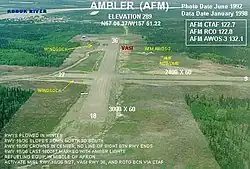
Ambler Airport covers an area of 272 acres (110 ha) at an elevation of 334 feet (102 m) above mean sea level. It has two runways with gravel surfaces: 9/27 measures 2,400 by 60 feet (732 x 18 m) and 18/36 is 3,000 by 60 feet (914 x 18 m).[1]
Airlines and destinations
| Airlines | Destinations |
|---|---|
| Bering Air | Kobuk, Kotzebue, Shungnak[6] |
Prior to its bankruptcy and cessation of all operations, Ravn Alaska served the airport from multiple locations.
Statistics
| Carrier | Passengers (arriving and departing) |
|---|---|
| Bering Air | 1,930(51.73%) |
| Hageland | 1,800(48.27%) |
| Rank | City | Airport | Passengers |
|---|---|---|---|
| 1 | Kotzebue, AK | Ralph Wien Memorial Airport (OTZ) | 1,510 |
| 2 | Shungnak, AK | Shungnak Airport (SHG) | 150 |
| 3 | Selawik, AK | Selawik Airport (WLK) | 80 |
| 4 | Kobuk, AK | Kobuk Airport (OBU) | 50 |
| 5 | Noorvik, AK | Noorvik Airport (ORV) | 30 |
References
- FAA Airport Form 5010 for AFM PDF, effective 2017-01-05.
- CY 2008 Passenger Boarding and All-Cargo Data. Federal Aviation Administration. Updated January 10, 2017.
- National Plan of Integrated Airport Systems for 2009–2013: Appendix A: Part 1 (PDF, 1.33 MB) Archived August 6, 2011, at the Wayback Machine. Federal Aviation Administration. Updated 15 October 2008.
- Great Circle Mapper: ABL / PAFM - Ambler, Alaska
- "Alaskan ICAO Identifiers". Federal Aviation Administration. Archived from the original on 2009-07-28. Retrieved 2009-08-07.
- Bering Air Timetables (PDF). Retrieved January 10, 2017.
- "Akiak, AK: Akiak (AKI)". Bureau of Transportation Statistics (BTS), Research and Innovative Technology Administration (RITA), U.S. Department of Transportation. December 2015. Retrieved January 10, 2017.
External links
- FAA Alaska airport diagram (GIF)
- FAA Terminal Procedures for AFM, effective October 5, 2023
- Resources for this airport:
- FAA airport information for AFM
- AirNav airport information for PAFM
- ASN accident history for ABL
- FlightAware airport information and live flight tracker
- NOAA/NWS latest weather observations for PAFM
- SkyVector aeronautical chart for AFM